
Serpentinitsteinbruch Oberwald
Location: Hohenstein-Ernstthal
GPS coordinates: 50.82056,12.69028
Latest update: March 11, 2025 14:30

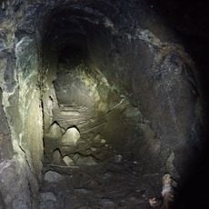
Karl-May-Höhle
627 m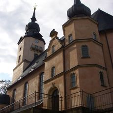
St. Christophori
2.2 km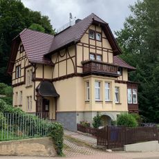
Villa Paul-Greifzu-Straße 8
2.1 km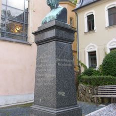
Gotthilf Heinrich von Schubert monument, Hohenstein-Ernstthal
2.2 km
Wohnhaus in geschlossener Bebauung und Hintergebäude im Hof Altmarkt 6
2.3 km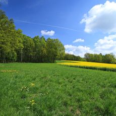
Pfaffenberg-Oberwald
897 m
Villa, später zum Betlehemstift Hüttengrund 44
2.1 km
Gotthilf Heinrich von Schubert Geburtshaus, Hohenstein-Ernstthal
2.2 km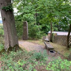
Gedenkstein und Bank Paul-Greifzu-Straße
2 km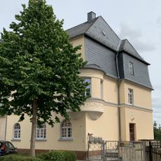
Friedrich-Engels-Straße 27
2.3 km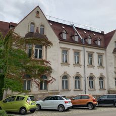
Friedrich-Engels-Straße 31; 33
2.3 km
Mietshaus in geschlossener Bebauung Friedrich-Engels-Straße 23
2.3 km
Wohnhaus in geschlossener Bebauung Altmarkt 7
2.3 km
Wohnhaus in geschlossener Bebauung Altmarkt 8
2.3 km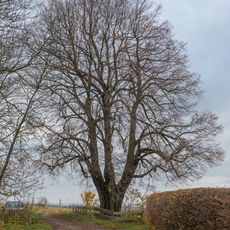
Lutherlinde
1.5 km
Bergamtshaus Hohenstein
2.3 km
Wohnhaus in geschlossener Bebauung und Hintergebäude (Seitenflügel im Hof) Altmarkt 37
2.3 km
Wohnhaus Altmarkt 40
2.2 km
Friedrich-Engels-Straße 21
2.3 km
Wohnhaus Altmarkt 1
2.3 km
Oberwald Hohenstein-Ernstthal
1.1 km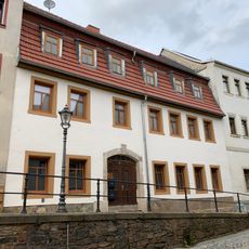
Wohnhaus Karlstraße 15
2.3 km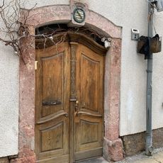
Haustür und Türportal eines Wohnhauses Karlstraße 2
2.3 km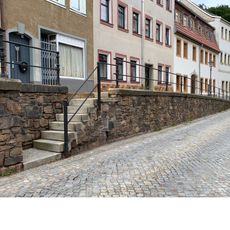
Heiste mit Eisengeländer Karlstraße
2.3 km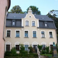
Pfarrhaus Hinrich-Wichern-Straße 4
2.2 km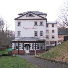
Mineralbad Hohenstein
1.1 km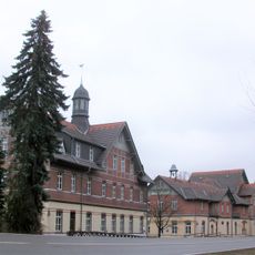
Bethlehemstift
2.2 km
Wohnhaus in geschlossener Bebauung Altmarkt 9
2.3 kmReviews
Visited this place? Tap the stars to rate it and share your experience / photos with the community! Try now! You can cancel it anytime.
Discover hidden gems everywhere you go!
From secret cafés to breathtaking viewpoints, skip the crowded tourist spots and find places that match your style. Our app makes it easy with voice search, smart filtering, route optimization, and insider tips from travelers worldwide. Download now for the complete mobile experience.

A unique approach to discovering new places❞
— Le Figaro
All the places worth exploring❞
— France Info
A tailor-made excursion in just a few clicks❞
— 20 Minutes