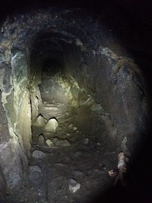
Karl-May-Höhle, Mining cave in Hohenstein-Ernstthal, Germany.
Karl-May-Höhle is a former mining cave in Hohenstein-Ernstthal that penetrates deep into solid rock. The interior contains multiple passages that visitors can explore to understand how ore extraction was carried out in this location.
Mining began in 1620 when a resident started excavating the tunnel for iron ore extraction. Economic difficulties caused the operation to be abandoned, leaving the mine unused for centuries afterward.
The name honors author Karl May, whose literary works drew attention to this region and its stories. Today visitors come to experience the connection between the author's imagination and the actual landscape he wrote about.
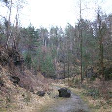
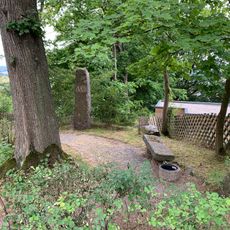
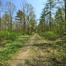
Access is available through a marked trail from the parking area near Badteich, passing under the A4 highway. Wear sturdy footwear, as the interior paths can become slippery in wet conditions and require careful navigation.
Between 1771 and 1772, a gang of thieves used the abandoned cave to hide stolen goods while the region suffered from food shortages. This chapter reveals how the former mine became a refuge for those driven to crime by poverty and hardship.
The community of curious travelers
AroundUs brings together thousands of curated places, local tips, and hidden gems, enriched daily by 60,000 contributors worldwide.