
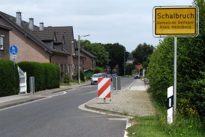
Schalbruch, human settlement in Selfkant, Germany
Location: Selfkant
Elevation above the sea: 51 m
Shares border with: Echt-Susteren
GPS coordinates: 51.05194,5.90417
Latest update: March 28, 2025 19:40
Saint Amalberga Church
3.9 km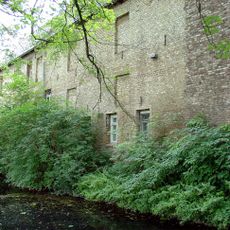
Castle Millen
3.6 km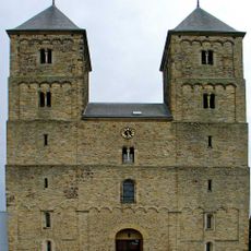
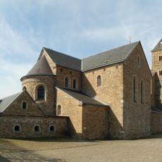
Susteren Abbey
3.9 km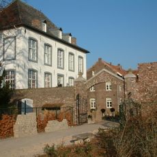
Witham Castle
3.7 km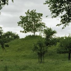
Koppelberg
4.5 km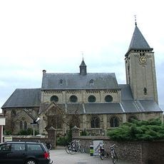
Sint-Janskerk
3.6 km
Im Eiländchen
1.3 km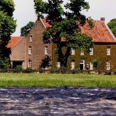
Huis de Horst
4.6 km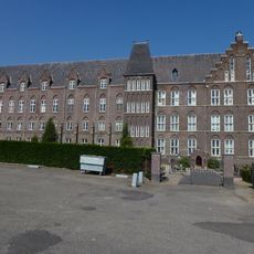
Klooster Koningsbosch
3.7 km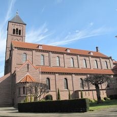
Onze-Lieve-Vrouw Onbevlekt Ontvangenkerk
3.2 km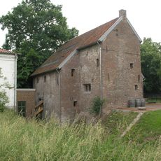
Millener Mühlen
3.6 km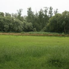
Hohbruch
648 m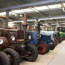
Bauernmuseum Selfkant
4.3 km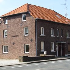
Kornmühle Tüddern
4.4 km
O.L. Vrouw Onbevlekt Ontvangenkerk
3.8 km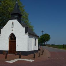
Onze-Lieve-Vrouw-van-Altijddurende-Bijstandkapel
4.1 km
Mariakapel
2.6 km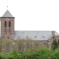
St. Gertrud
1.7 km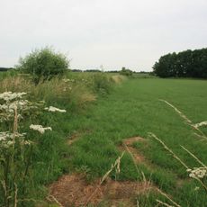
Schalbruchniederung und Grenzbereich bei Schalbruch
1.3 km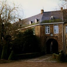
Castle Millen: access bridge
3.6 km
Castle Millen: historic garden and park landscaping
3.6 km
Oorlogsmonument
4.1 km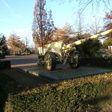
Monument op het Raadhuisplein
3.9 km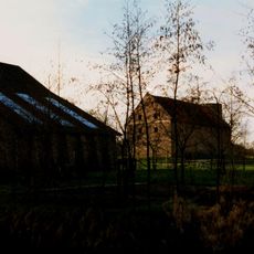
Castle Millen: large barn
3.6 km
Castle ruin Millen
3.6 km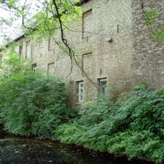
Castle Millen: main building
3.6 km
Marktstraat 49, Susteren
4 km
St. Jozefschool
3.4 kmReviews
Visited this place? Tap the stars to rate it and share your experience / photos with the community! Try now! You can cancel it anytime.
Discover hidden gems everywhere you go!
From secret cafés to breathtaking viewpoints, skip the crowded tourist spots and find places that match your style. Our app makes it easy with voice search, smart filtering, route optimization, and insider tips from travelers worldwide. Download now for the complete mobile experience.

A unique approach to discovering new places❞
— Le Figaro
All the places worth exploring❞
— France Info
A tailor-made excursion in just a few clicks❞
— 20 Minutes