
Terheeg, human settlement in Germany
Location: Erkelenz
Elevation above the sea: 93 m
GPS coordinates: 51.08170,6.34472
Latest update: March 6, 2025 00:42
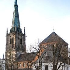
St. Lambertus
2 km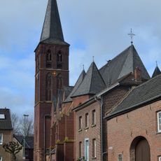
Holy Cross Church (Keyenberg)
4.8 km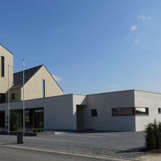
Saint Lambert Church (Immerath neu)
2.6 km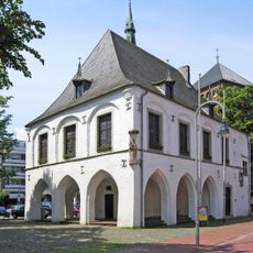
Altes Rathaus
2 km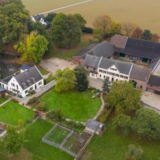
Roitzerhof
4.1 km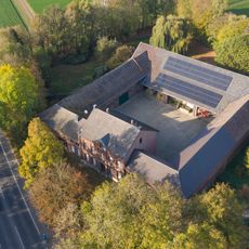
Weyerhof
4 km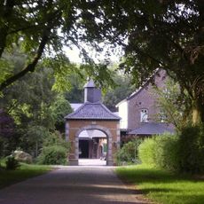
Eggeratherhof
4.1 km
Haus Hohenbusch
4.9 km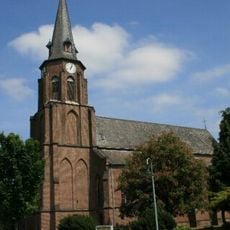
Saint Valentine Church
2.2 km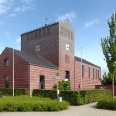
Saint Martin Chapel
1.8 km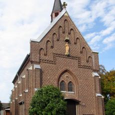
Holy Cross Church
3.3 km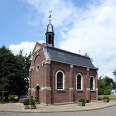
Saint Joseph Chapel
3.3 km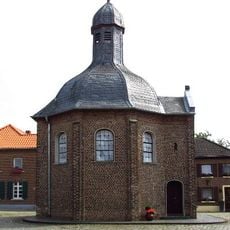
Saint Joseph Chapel (Matzerath)
4.4 km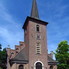
St. Rochus (Rath-Anhoven)
3.2 km
St. Michael
4.5 km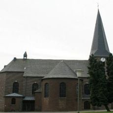
Saint Servatius Church (Kückhoven)
2.3 km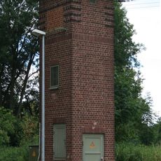
Transformatorenhaus
3.6 km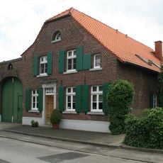
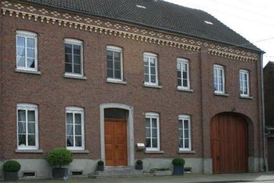
Zur Mühle 10
4 km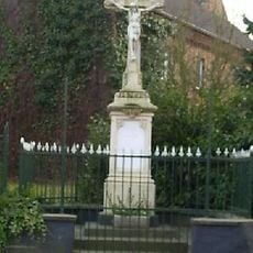
Wegekreuz Beeck
2.1 km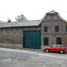
Zur Mühle 2
4 km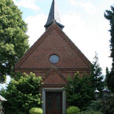
Kapelle St. Laurentius
4.1 km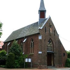
Saint Anthony the Great Church (Tenholt)
3.8 km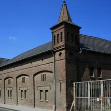
Kuckumer Straße 22
4.9 km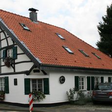
Seidenweberstraße 48
2.9 km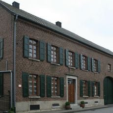
Beckrather Dorfstraße 8
4.1 km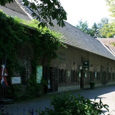
Kuckumer Straße 61
4.6 km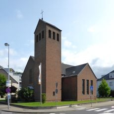
Protestant Church
1.6 km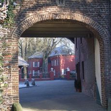
Haus Keyenberg
4.7 kmReviews
Visited this place? Tap the stars to rate it and share your experience / photos with the community! Try now! You can cancel it anytime.
Discover hidden gems everywhere you go!
From secret cafés to breathtaking viewpoints, skip the crowded tourist spots and find places that match your style. Our app makes it easy with voice search, smart filtering, route optimization, and insider tips from travelers worldwide. Download now for the complete mobile experience.

A unique approach to discovering new places❞
— Le Figaro
All the places worth exploring❞
— France Info
A tailor-made excursion in just a few clicks❞
— 20 Minutes