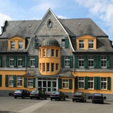
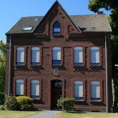
Territorialkommando Nord, Military command headquarters in Mönchengladbach, Germany
Territorialkommando Nord was a military command center based at JHQ Rheindahlen near Mönchengladbach that managed territorial defense operations. The facility coordinated multiple Bundeswehr divisions across designated military sectors from a single headquarters location.
This command center was established in 1969 as part of the NATO Cold War defense structure. It remained operational until 1994, when it was dissolved as European military organizations underwent significant reorganization.
The command's multinational structure facilitated cooperation between German forces and other NATO members through regular joint training exercises and operations.
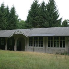
The site was an integral part of the larger Rheindahlen military complex housing multiple facilities and support structures. Today the former headquarters area may have restricted access, so visitors should check local conditions before visiting.
The command structure drew directly from the organizational framework of the Northern Army Group, creating a tightly integrated defense system. This arrangement reflected how closely German military administration was bound to broader NATO operations during the divided Cold War period.
The community of curious travelers
AroundUs brings together thousands of curated places, local tips, and hidden gems, enriched daily by 60,000 contributors worldwide.