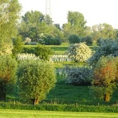
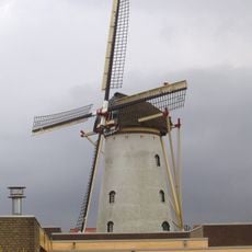
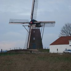
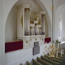
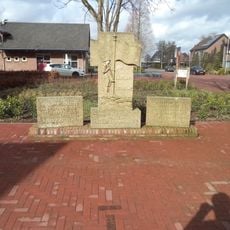
Eltenberg, Hill summit in Emmerich am Rhein, Germany.
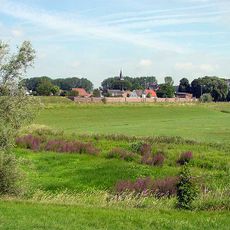
Eltenberg is a hill near Emmerich am Rhein that rises about 82 meters (270 feet) above the surrounding landscape. This natural elevation sits in North Rhine-Westphalia close to the German-Dutch border and provides wide views from its summit.
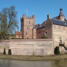
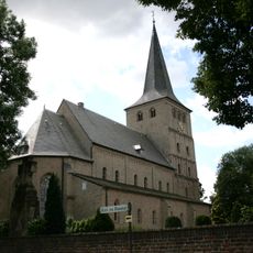
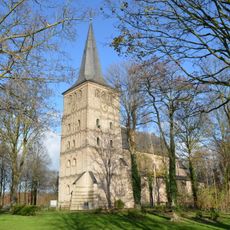
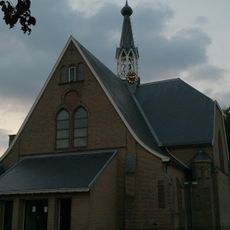
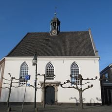
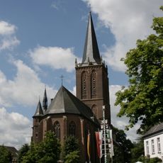
The hill was part of the Netherlands from 1949 to 1963. On its summit stands the village core of Hoog-Elten, whose St. Vitus Church was built in 980 as a women's abbey. The Drususbrunnen well, dug to supply that abbey, served the population until the water network opened in 1931.
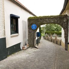
The name Elten derives from the Latin altum, meaning high, and the hill's summit holds the village core of Hoog-Elten around the Sint-Vituskerk, whose spire is visible across the surrounding area. The thousand-year-old Drususbrunnen well, dug to supply the women's abbey built in 980, remained the water source for the village until mains water arrived in 1931. The Pieterpad long-distance trail passes through Hoog-Elten.
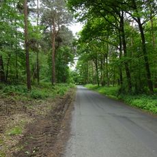
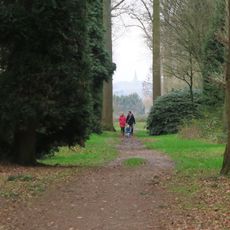
Several marked walking trails lead upward from different starting points toward the summit, with parking available at the base of the hill. The climb and descent are manageable for most visitors and typically take one to two hours total.
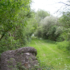
Between 1949 and 1963 the Eltenberg belonged to the Netherlands, a consequence of the border corrections after the Second World War; the hill was returned to Germany under a treaty signed in 1963. The green border crossing between Stokkum and Elten, a car-free lane over the Bundesautobahn 3, still lets walkers pass between the two countries.
The community of curious travelers
AroundUs brings together thousands of curated places, local tips, and hidden gems, enriched daily by 94,646 contributors worldwide.