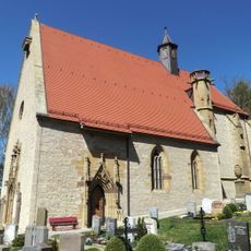
Ulrichskapelle, Medieval chapel in Standorf, Germany.
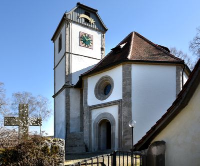
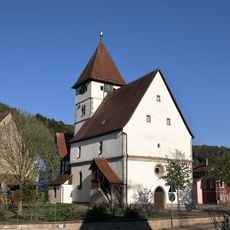
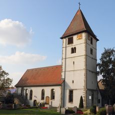
The Ulrichskapelle is a small chapel in Creglingen featuring an octagonal layout with thick stone walls and rounded arches typical of Romanesque design. The structure displays the solid, straightforward construction methods used in medieval times.
The chapel contains an oak column with wood from between 1209 and 1229, pointing to early medieval origins. First documented records appear in 1429, establishing its long role as a site of religious importance.
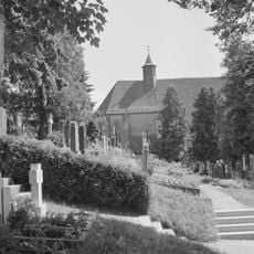
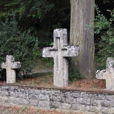
The chapel belongs to the local Protestant church community and serves as a gathering place for people from the surrounding valleys. Visitors can experience religious architecture in its simple, functional form, as it was typical for rural communities.
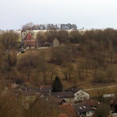
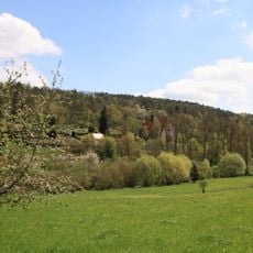
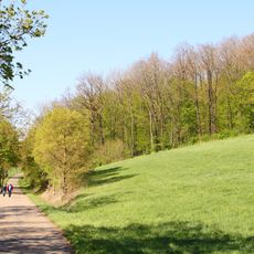
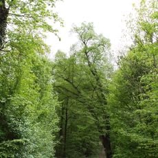
The chapel sits above Standorf village and can be reached on foot, particularly via the Jakobsweg Main-Taubertal hiking trail. Wear sturdy footwear as the terrain is hilly and can become slippery after rain.
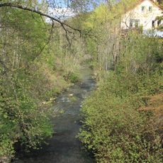
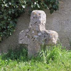
Below the chapel flows the Ulrichsquelle spring, a small spring to which local tradition has long attributed healing properties for eye problems. Though this belief comes from earlier times, it shows how the community saw natural features as connected to the sacred place.
The community of curious travelers
AroundUs brings together thousands of curated places, local tips, and hidden gems, enriched daily by 60,000 contributors worldwide.