Veilhof, Statistical district in Nuremberg, Germany
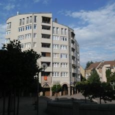
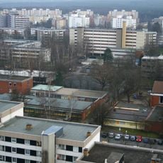
Veilhof is a statistical district in Nuremberg situated between the Wöhrd and Schoppershof neighborhoods. The area extends toward Wöhrder See and features a mix of residential buildings, schools, and local shops concentrated along Sulzbacher Straße.
The district was incorporated into Nuremberg in 1899 following its development from seven main structures and eight auxiliary buildings from Rennweg municipality. This early urban expansion provided the foundation for the residential area that exists today.
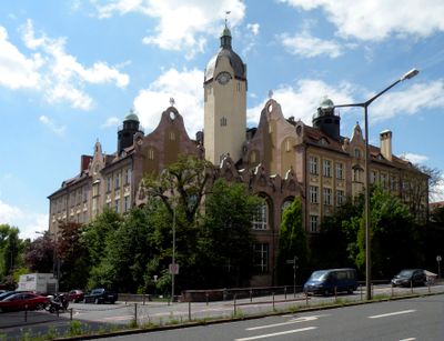
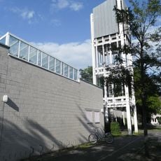
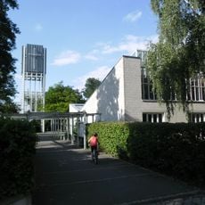
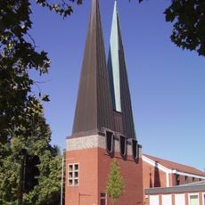
The Bismarck School with its distinctive towers shapes the local landscape and serves as a central gathering point for students and families. The school reflects the importance education holds in this neighborhood.
The area is easily accessible by public transportation, especially via tram line 8 and U-Bahn line 2, which provide quick connections to Nuremberg's city center. Sulzbacher Straße offers numerous daily services including shops and convenient amenities for residents and visitors.
Johann-Sörgel-Way runs along the shore of Wöhrder See and connects the neighborhood to green recreational spaces. This pathway offers residents and visitors direct access to nature and cultural institutions like the Finance Office and Music College nearby.
The community of curious travelers
AroundUs brings together thousands of curated places, local tips, and hidden gems, enriched daily by 60,000 contributors worldwide.