
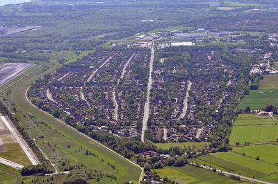
Voslapp, human settlement in Germany
Location: Wilhelmshaven
Elevation above the sea: 3 m
GPS coordinates: 53.58810,8.10417
Latest update: March 4, 2025 23:42
Fort Rüstersiel
2.7 km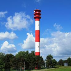
Voslapp range lights
1.9 km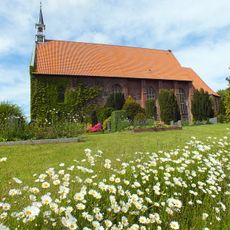
St.-Georgs-Kirche
3.9 km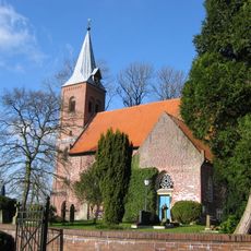
St. Stephanuskirche
5 km
Voslapper Groden-Süd
1.5 km
Voslapper Groden-Nord
3.7 km
Christ the King Church (Wilhelmshaven)
1.6 km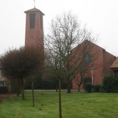
Sankt Michael
4 km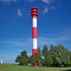
Voslapp Range Rear Light
1.9 km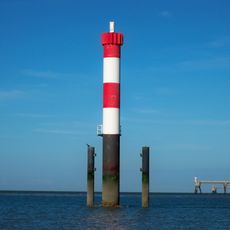
Voslapp Range Front Light
3.5 km
Breddewarden
2.7 km
Dorfwarf Hohewerth
4.9 km
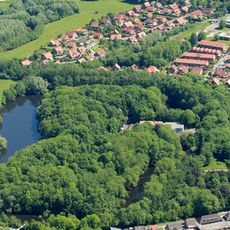
Stadtpark
4.8 km
Wehlens
5 km
Utters
2.3 km
Deich von Hörn bis Voslapp
649 m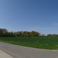
Deichzug Steindamm über Schnapp
3.5 km
Mönkeburger Busch
5.1 km
Hohewerther Grashaus
4.5 km
Altengrodener Weg
4.1 km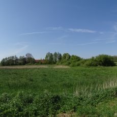
Bauernhof
751 m
Steindamm
3.1 km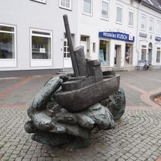
Schiff auf Welle
1.8 km
2 Bauernhöfe in Mitteldeich
2.3 km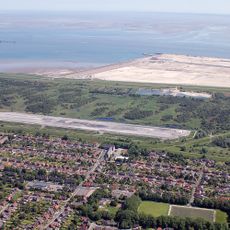
Voslapper Groden-Süd
1.6 km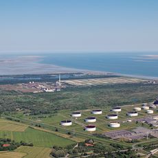
Voslapper Groden-Nord
3.6 km
Bohnenburger Andelgroden
4.8 km
Maadesiel
4.3 kmReviews
Visited this place? Tap the stars to rate it and share your experience / photos with the community! Try now! You can cancel it anytime.
Discover hidden gems everywhere you go!
From secret cafés to breathtaking viewpoints, skip the crowded tourist spots and find places that match your style. Our app makes it easy with voice search, smart filtering, route optimization, and insider tips from travelers worldwide. Download now for the complete mobile experience.

A unique approach to discovering new places❞
— Le Figaro
All the places worth exploring❞
— France Info
A tailor-made excursion in just a few clicks❞
— 20 Minutes