
Warthe, human settlement in Germany
Location: Boitzenburger Land
Elevation above the sea: 73 m
GPS coordinates: 53.21440,13.51480
Latest update: July 29, 2025 11:10
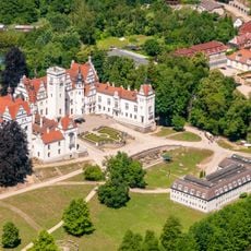
Schloss Boitzenburg
7.8 km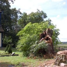
Kirchlein im Grünen
9.5 km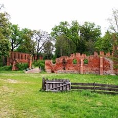
Ruin of Boitzenburg monastery
9.1 km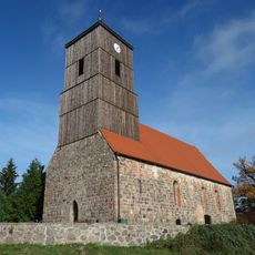
Church in Klaushagen
4.7 km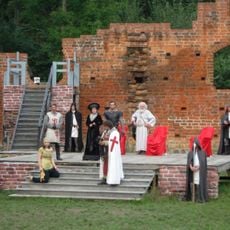
Theater Klosterruine Boitzenburg
9.1 km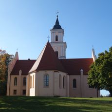
St. Mary's church on the hill
8.2 km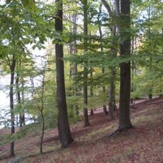
Conower Werder
9.4 km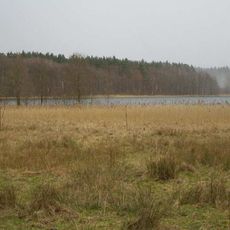
Krüselinsee und Mechowseen
9.1 km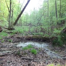
Großer Kernbruch
8.5 km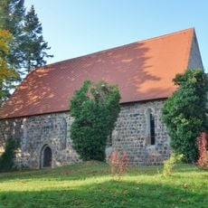
Village church Herzfelde
6.5 km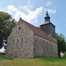
Village church Hardenbeck
5.6 km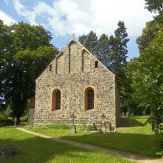
Village church Thomsdorf
8.5 km
Brüsenwalde
3.9 km
Küstrinchen
6.7 km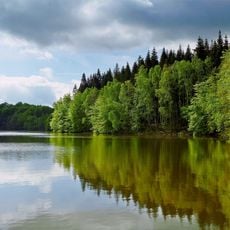
Jungfernheide
3.4 km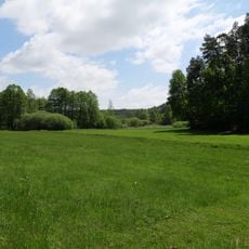
Netzowsee-Metzelthiner Feldmark
7.8 km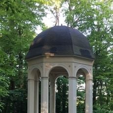
Apollotempel im Schlosspark von Boitzenburg
7.9 km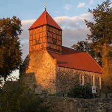
Village church Gandenitz
6.9 km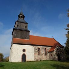
Village church Jakobshagen
3.3 km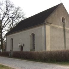
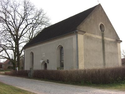
Dorfkirche
577 m
Protestant Church Küstrinchen
9.1 km
Village church Rosenow (Boitzenburger Land)
5.3 km
Village church Wichmannsdorf (Boitzenburger Land)
9 km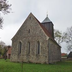
Church in Klosterwalde
5.7 km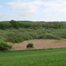
Mellensee-Marienfließ
8.5 km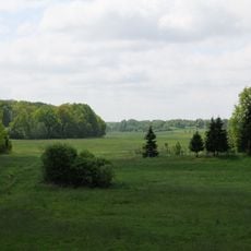
Norduckermärkische Seenlandschaft
2.5 km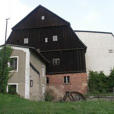
Klostermühle
9 km
Platkowsee-Netzowsee-Metzelthin
6.1 kmReviews
Visited this place? Tap the stars to rate it and share your experience / photos with the community! Try now! You can cancel it anytime.
Discover hidden gems everywhere you go!
From secret cafés to breathtaking viewpoints, skip the crowded tourist spots and find places that match your style. Our app makes it easy with voice search, smart filtering, route optimization, and insider tips from travelers worldwide. Download now for the complete mobile experience.

A unique approach to discovering new places❞
— Le Figaro
All the places worth exploring❞
— France Info
A tailor-made excursion in just a few clicks❞
— 20 Minutes