Georgenhausen, Administrative district in Reinheim, Germany
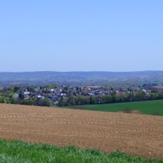
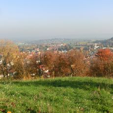
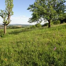
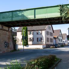
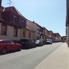
Georgenhausen is a settlement located at the western edge of a fertile loess region in Reinheim, covering about 2.19 square kilometers. The area connects to neighboring communities through Federal Highway 38, which runs along its northern boundary.
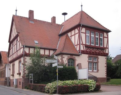
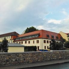
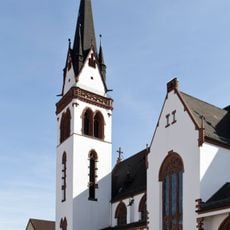
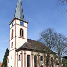
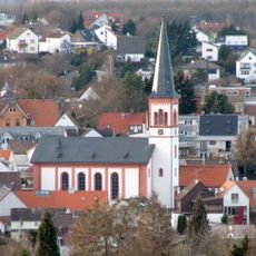
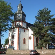
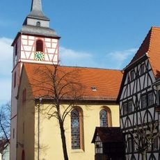
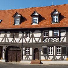
The village first appeared in written records in 1318 under the name Gorienhusen, establishing its long presence in the region. A church was already founded in 1250 by the Knights of Rodenstein, showing the early religious importance of the place.
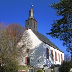
The settlement is named after Saint George and maintains this religious connection through its architecture and local celebrations today. The September Kerb festival brings residents together and shows how daily life here revolves around these traditional gatherings.
The village is easily reached via Federal Highway 38, which passes along its northern side and provides access to neighboring towns. The flat terrain and good road connections make it straightforward to explore the different churches and the settlement.
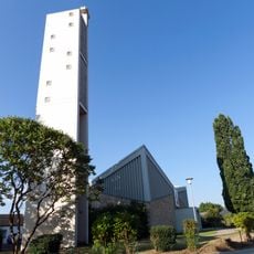
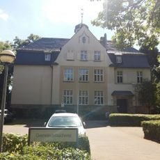
The settlement holds four religious institutions within its small territory, including Georg Church and Saint Elisabeth Chapel, reflecting its religious diversity. This high concentration of religious buildings is remarkable for such a small place.
The community of curious travelers
AroundUs brings together thousands of curated places, local tips, and hidden gems, enriched daily by 60,000 contributors worldwide.