
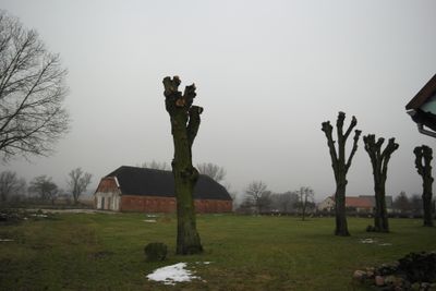
Buschhof, human settlement in Germany
Location: Schwarz
Elevation above the sea: 75 m
GPS coordinates: 53.23250,12.71560
Latest update: March 3, 2025 15:34
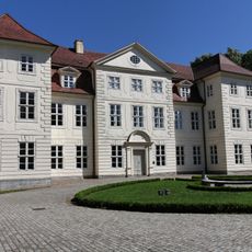
Schloss Mirow
8 km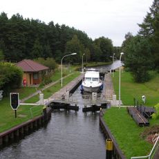
Diemitz lock
10.1 km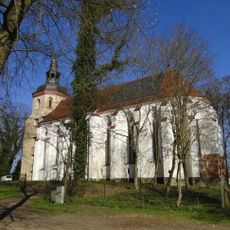
Church in Mirow
8 km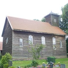
Church in Alt Gaarz
6.9 km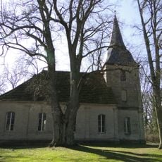
Church in Schwarz
4.8 km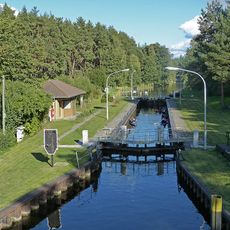
Diemitzer Schleuse
10.2 km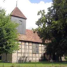
Church in Lärz
7 km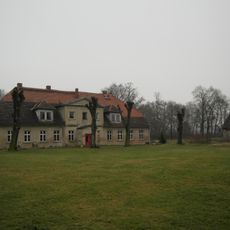
Gutshaus Buschhof
181 m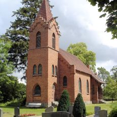
Church in Krümmel
4.1 km
Holm
6.3 km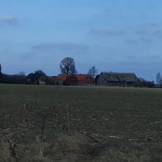
Langenschlage
2.4 km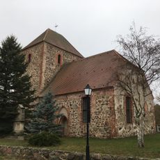
Village church Schweinrich
8.2 km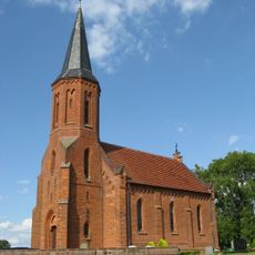
Dorfkirche Priborn
8.3 km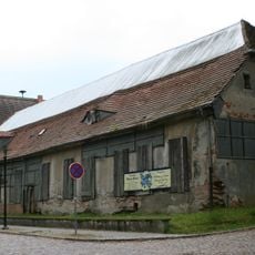
Stadthafen Mirow
7.9 km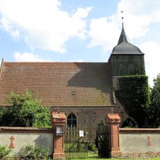
Dorfkirche Buchholz (bei Röbel)
6.7 km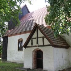
Church in Kieve
9.3 km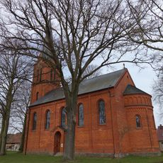
Village church Dranse
7.2 km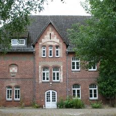
Schule Mirow
7.9 km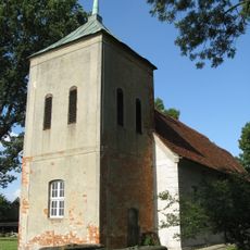
Church in Melz
10.1 km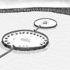
Kieve Gord
9.8 km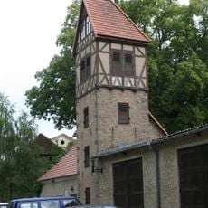
Schlauchturm der Feuerwehr Mirow
7.9 km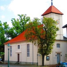
Dorfkirche Flecken Zechlin
9 km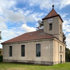
Dorfkirche Sewekow
4.3 km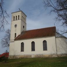
Village church Berlinchen
9 km
Wummsee und Twernsee
7.8 km
Buchheide (nordwestlich Zechlin)
7.1 km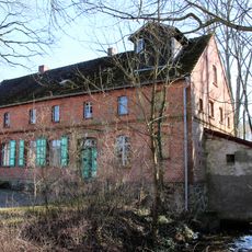
Walkmühler Straße 1
5.1 km
St. Johannes
8.3 kmReviews
Visited this place? Tap the stars to rate it and share your experience / photos with the community! Try now! You can cancel it anytime.
Discover hidden gems everywhere you go!
From secret cafés to breathtaking viewpoints, skip the crowded tourist spots and find places that match your style. Our app makes it easy with voice search, smart filtering, route optimization, and insider tips from travelers worldwide. Download now for the complete mobile experience.

A unique approach to discovering new places❞
— Le Figaro
All the places worth exploring❞
— France Info
A tailor-made excursion in just a few clicks❞
— 20 Minutes