
Netzen, human settlement in Germany
Location: Kloster Lehnin
Elevation above the sea: 27 m
GPS coordinates: 52.34177,12.68571
Latest update: March 11, 2025 21:28
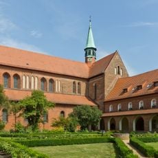
Lehnin Abbey
4.6 km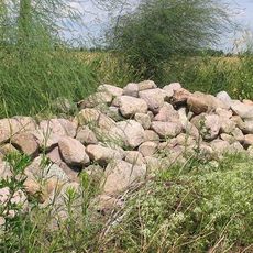
Rietzer See
3.2 km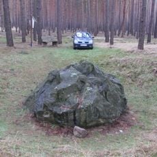
Blauer Stein
7 km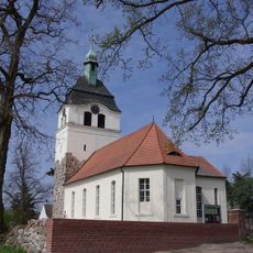
Dorfkirche Jeserig
7.9 km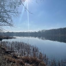
Gohlitzsee
5.7 km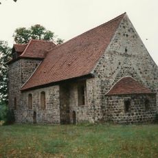
Dorfkirche Michelsdorf
3.7 km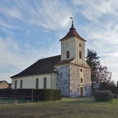
Village church Damsdorf
4.7 km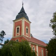
Dorfkirche Trechwitz
3.6 km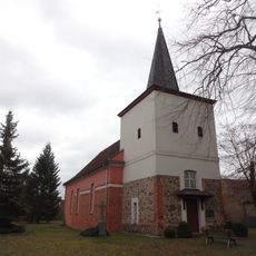
Kirche Netzen
295 m
Dorfkirche Nahmitz
2.7 km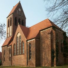
Dorfkirche Grebs
1.8 km
Dorfkirche Prützke
4 km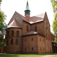
Monastery Church Lehnin
4.6 km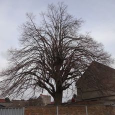
Linde
4.6 km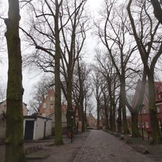
Lindengruppe
4.5 km
Evangelisches Diakonissenhaus Berlin Teltow Lehnin / Museum im Zisterzienserkloster Lehnin
4.5 km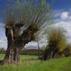
Mittlere Havel Ergänzung
7.2 km
Eibe
239 m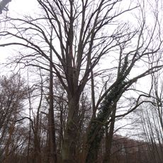
Stieleiche im Kloster Lehnin
4.5 km
Rietzer See
3.8 km
Rietzer See
3.6 km
Friedens-Eiche
2.7 km
Stieleiche
4.8 km
Stieleiche
4.7 km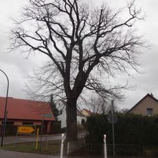
2 Stieleichen
4.7 km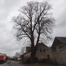
Linde
1.9 km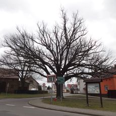
Friedens-Eiche
1.8 km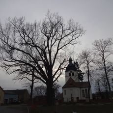
Friedens-Eiche
7.9 kmReviews
Visited this place? Tap the stars to rate it and share your experience / photos with the community! Try now! You can cancel it anytime.
Discover hidden gems everywhere you go!
From secret cafés to breathtaking viewpoints, skip the crowded tourist spots and find places that match your style. Our app makes it easy with voice search, smart filtering, route optimization, and insider tips from travelers worldwide. Download now for the complete mobile experience.

A unique approach to discovering new places❞
— Le Figaro
All the places worth exploring❞
— France Info
A tailor-made excursion in just a few clicks❞
— 20 Minutes