
Niedersprockhövel, district of Sprockhövel, North Rhine-Westphalia, Germany
Location: Sprockhövel
Shares border with: Herbede
GPS coordinates: 51.36458,7.24633
Latest update: April 23, 2025 09:28
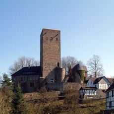
Blankenstein Castle
4.8 km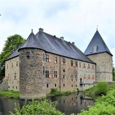
Haus Kemnade
4.8 km
Alte Haase mine
870 m
Gethmannscher Garten
5.1 km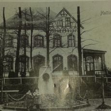
Schulenburg Hattingen
4.9 km
Mine Egbert
4.9 km
Gymnasium Waldstraße
4.9 km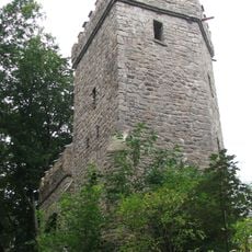
Bismarck tower
4.9 km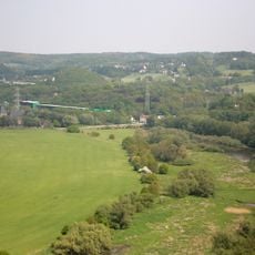
Alte Ruhr–Katzenstein
4.6 km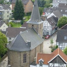
Evangelische Kirche Blankenstein
4.8 km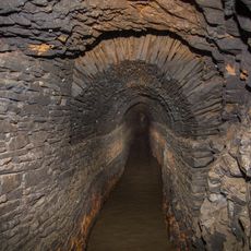
Stock & Scherenberger Erbstollen
2.9 km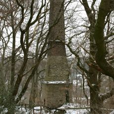
Wetterschornstein Buchholz
3.6 km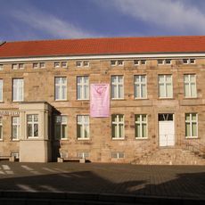
Stadtmuseum Hattingen
4.9 km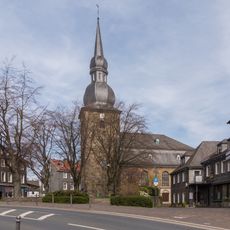
Evangelische Kirche Niedersprockhövel
559 m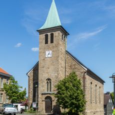
St. Johannes Baptist
4.9 km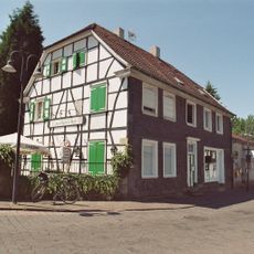
Haus Heine
635 m
Bauernhausmuseum Hattingen
4.9 km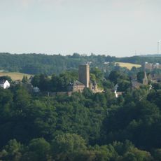
Winterberg
4.4 km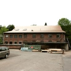
Mine Blankenburg
4.1 km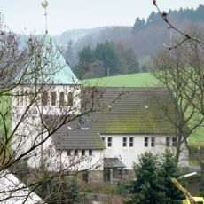
St. Mariä Empfängnis
2.5 km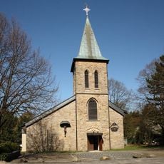
St. Januarius
209 m
Kreßsieper Erbstollen
5.2 km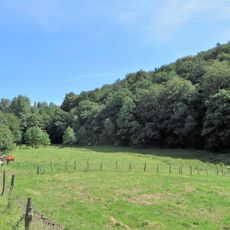
Am Nockenberg
4.7 km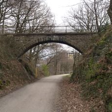
Brückenbauwerk Im Riepelsiepen
747 m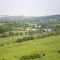
Ruhrbrücke Kemnader Straße
5.2 km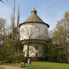
Wasserturm am Blumenweg
5.1 km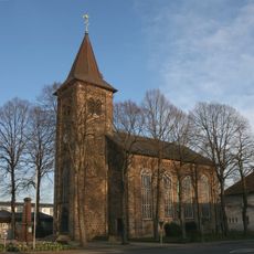
Evangelische Kirche Haßlinghausen
4.2 km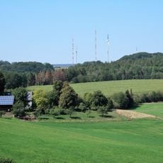
LSG-Niederbredenscheid - Elfringhausen
5.2 kmReviews
Visited this place? Tap the stars to rate it and share your experience / photos with the community! Try now! You can cancel it anytime.
Discover hidden gems everywhere you go!
From secret cafés to breathtaking viewpoints, skip the crowded tourist spots and find places that match your style. Our app makes it easy with voice search, smart filtering, route optimization, and insider tips from travelers worldwide. Download now for the complete mobile experience.

A unique approach to discovering new places❞
— Le Figaro
All the places worth exploring❞
— France Info
A tailor-made excursion in just a few clicks❞
— 20 Minutes