
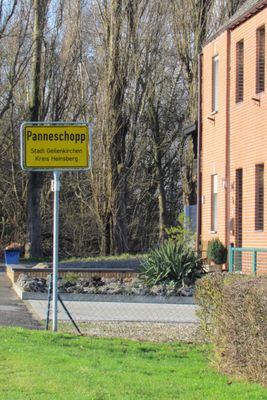
Panneschopp, human settlement in Geilenkirchen, Germany
Location: Geilenkirchen
Elevation above the sea: 86 m
Shares border with: Niederbusch
GPS coordinates: 50.96694,6.07111
Latest update: March 15, 2025 11:40
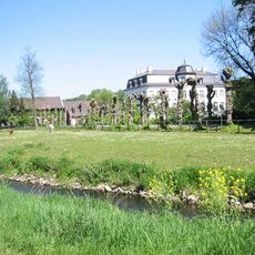
Schloss Zweibrüggen
3.9 km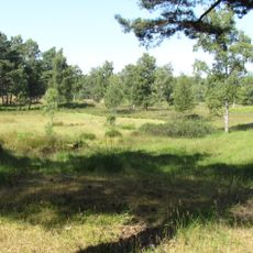
Teverener Heide
3.9 km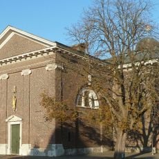
St. Mariä Himmelfahrt
3.6 km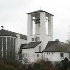
St. Johann Baptist
4 km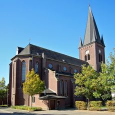
St. Mariä Himmelfahrt
4.3 km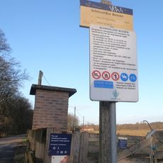
Schinveldse Bossen
4.4 km
St. Josef (Bauchem)
3 km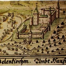
Burg Geilenkirchen
3.7 km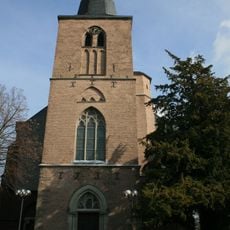
St. Willibrord
1.5 km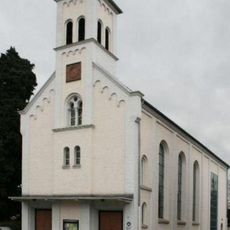
Evangelical Church
3.8 km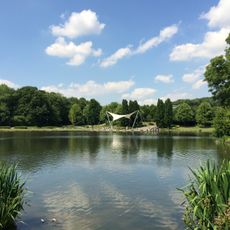
Wurmauenpark
3.3 km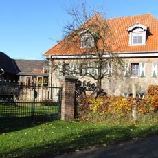
Zweibrügger Mühle
3.9 km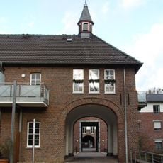
Burgkapelle Trips
4.4 km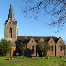
St. Marien
1.6 km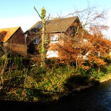
Lohmühle
4.4 km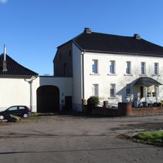
Mühle Eichenthal
3.2 km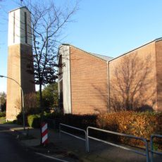
St. Dionysius (Frelenberg)
3.6 km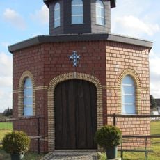
Peter und Paul Kapelle (Hatterath)
2.4 km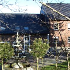
Mühle Hommerschen
3.3 km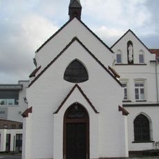
Krankenhauskapelle
4.3 km
Platzmühle
3.7 km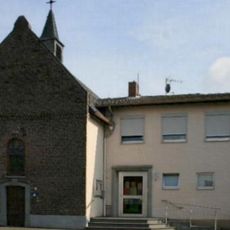
Evangelical Church
2 km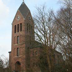
St. Kornelius
3.1 km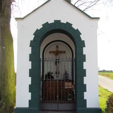
Kapelle am Gillrather Hof
1.2 km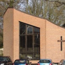
Kapelle St. Franziskus (Geilenkirchen)
3 km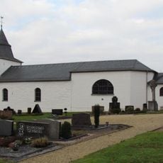
Friedhofskapelle-Alte Kirche
3.7 km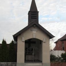
St. Lambertuskapelle
3.3 km
Kreuzkapelle
3 kmReviews
Visited this place? Tap the stars to rate it and share your experience / photos with the community! Try now! You can cancel it anytime.
Discover hidden gems everywhere you go!
From secret cafés to breathtaking viewpoints, skip the crowded tourist spots and find places that match your style. Our app makes it easy with voice search, smart filtering, route optimization, and insider tips from travelers worldwide. Download now for the complete mobile experience.

A unique approach to discovering new places❞
— Le Figaro
All the places worth exploring❞
— France Info
A tailor-made excursion in just a few clicks❞
— 20 Minutes