Teverener Heide, Nature reserve in Gangelt and Geilenkirchen, Germany
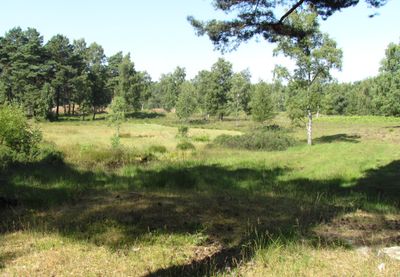
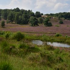
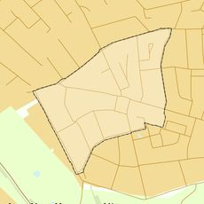
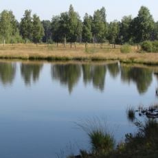
Teverener Heide is a nature reserve covering about 449 hectares across Gangelt and Geilenkirchen with multiple landscape types in one area. The terrain includes heathland, forests, wetlands, and lakes, with many of the water bodies created from sand and clay extraction activities during the 1900s.
The site was officially protected in 1977, marking the beginning of its conservation as a managed nature reserve. Before that, it functioned as a military training ground until 1993, while archaeological remains show that people lived here since the Middle Stone Age.
The site is part of the Green Metropolis initiative that links it with the adjacent Dutch Brunssummerheide across the border. Visitors experience how two countries cooperate to protect and manage this shared natural space together.
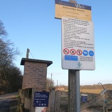
Three parking areas at Grotenrath, Scherpenseel, and Hohenbusch serve as entry points for visiting the reserve. Color-marked trails connect these areas and accommodate walkers, cyclists, and horse riders with different route options throughout the protected landscape.
The reserve is home to around 40 different dragonfly species, with some specialized in the lakes and wetlands. Rare plants such as sundew grow in particular zones, which makes the site interesting for plant enthusiasts and nature observers.
The community of curious travelers
AroundUs brings together thousands of curated places, local tips, and hidden gems, enriched daily by 60,000 contributors worldwide.