
Cunnersdorf, human settlement in Hohnstein, Germany
Location: Hohnstein
Elevation above the sea: 360 m
GPS coordinates: 51.00833,14.13889
Latest update: March 11, 2025 16:08
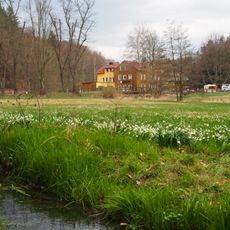
Märzenbecherwiese
1.1 km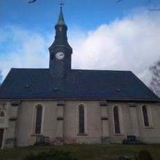
Dorfkirche Ehrenberg
2.1 km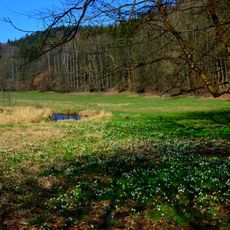
Oberes Polenztal und Hohes Birkigt
592 m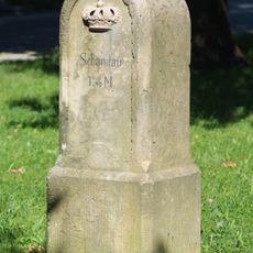
Royal Saxon milestone Hohnstein
3.6 km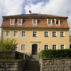
Schule Schulberg 6
3.7 km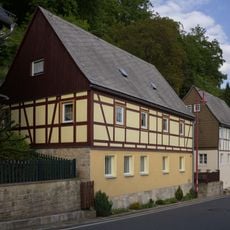
Wohnhaus Obere Straße 23
3.6 km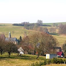
Kirche mit Kirchhof und Einfriedungsmauer Kirchsteig 24
2.1 km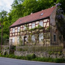
Wohnhaus Obere Straße 35
3.6 km
Wohnhaus Obere Straße 25
3.6 km
Felsenkeller Sebnitzer Straße -
3.3 km
Polenztalstraße 85 Polenz
3.4 km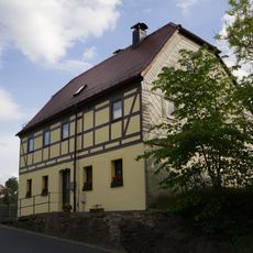
Wohnhaus Obere Straße 10
3.7 km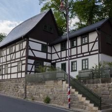
Wohnhaus Obere Straße 17
3.6 km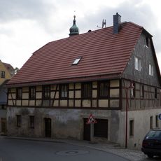
Wohnhaus in halboffener Bebauung Obere Straße 3
3.7 km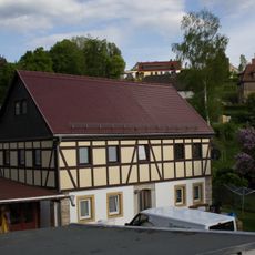
Wohnhaus Fleischergasse 4
3.7 km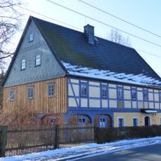
Polenztalstraße 81
3.4 km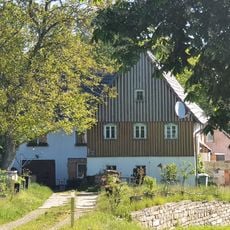
Wohnstallhaus Scheibenmühlenstraße 21
3 km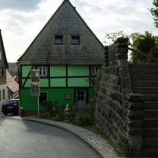
Wohnhaus in halboffener Bebauung Obere Straße 5
3.6 km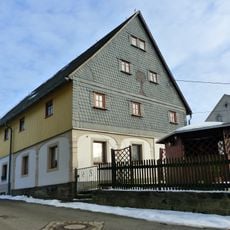
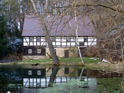
Bockmühlenstraße 42 Cunnersdorf
75 m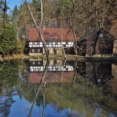
Im Polenztal 4
1.3 km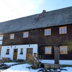
Obere Siedlung 2 Polenz
3.3 km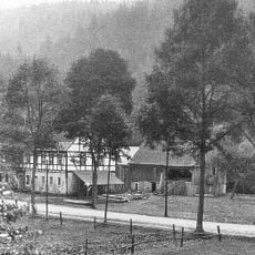
Rußigmühle Hohnstein
3 km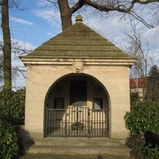
Denkmal für die Gefallenen des Ersten Weltkrieges Napoleonstraße -
3.5 km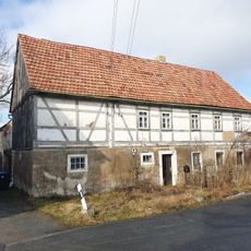
Wohnhaus Scheibenmühlenstraße 1
3.4 km
Wohnhaus (Nr. 6) und Nebengebäude (Nr. 8) Obere Straße 6; 8
3.7 km
Wohnstallhaus (Umgebinde) Mühlstraße 4; 6
3.2 km
Mittelweg 134
3.3 km
Häusleranwesen, mit Anbau Wesenitzstraße 88
3.4 kmVisited this place? Tap the stars to rate it and share your experience / photos with the community! Try now! You can cancel it anytime.
Discover hidden gems everywhere you go!
From secret cafés to breathtaking viewpoints, skip the crowded tourist spots and find places that match your style. Our app makes it easy with voice search, smart filtering, route optimization, and insider tips from travelers worldwide. Download now for the complete mobile experience.

A unique approach to discovering new places❞
— Le Figaro
All the places worth exploring❞
— France Info
A tailor-made excursion in just a few clicks❞
— 20 Minutes