
Lotterberg, human settlement in Germany
Location: Kempten
Elevation above the sea: 730 m
GPS coordinates: 47.73725,10.30318
Latest update: March 9, 2025 06:21
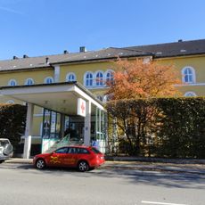
Distriktspital
707 m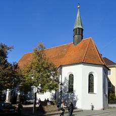
Seelenkapelle
917 m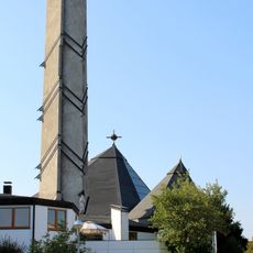
St. Hedwig (Kempten)
897 m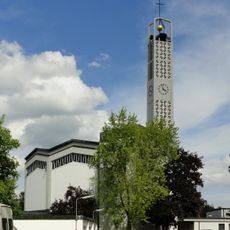
St. Michael (Kempten)
360 m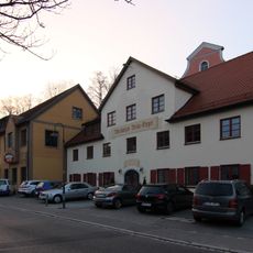
Meckatzer Bräu-Engel
862 m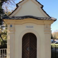
Besenkapelle
704 m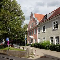
Fürstenschule (Kempten)
846 m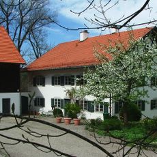
Reichelsberg
830 m
LSG IIler
699 m
Vorstadtvilla
980 m
Wohnhaus
894 m
Doppelhaushälfte
852 m
Madlenerstraße 19 (Kempten)
810 m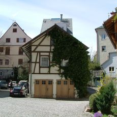
Wohnhaus
945 m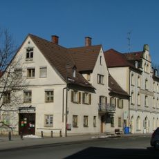
Hofschmiede
951 m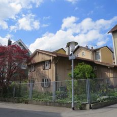
Wohnhaus
865 m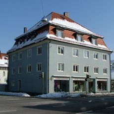
Wohnhaus
787 m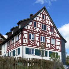
Wohnhaus
872 m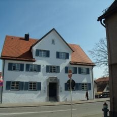
Hofwagner
902 m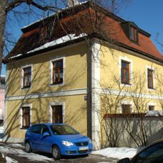
Wohnhaus
702 m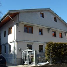
Bauernhaus
826 m
Herbergshaus
955 m
Bauernhaus
695 m
Gasthaus Auf der Brach
591 m
Bauernhaus
855 m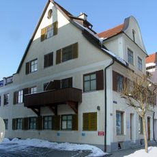
Doppelhaushälfte
857 m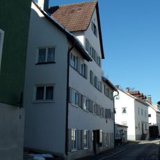
Ehemaliges Spital
700 m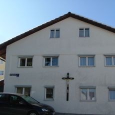
Wohnhaus
902 mReviews
Visited this place? Tap the stars to rate it and share your experience / photos with the community! Try now! You can cancel it anytime.
Discover hidden gems everywhere you go!
From secret cafés to breathtaking viewpoints, skip the crowded tourist spots and find places that match your style. Our app makes it easy with voice search, smart filtering, route optimization, and insider tips from travelers worldwide. Download now for the complete mobile experience.

A unique approach to discovering new places❞
— Le Figaro
All the places worth exploring❞
— France Info
A tailor-made excursion in just a few clicks❞
— 20 Minutes