
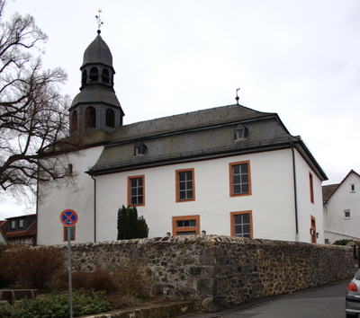
Evangelische Kirche Rödgen, church building in Hesse, Germany
Location: Rödgen
Address: Kirchenring
GPS coordinates: 50.60006,8.75004
Latest update: March 6, 2025 15:32
Gießen Airbase
1.8 km
Hofburg
2.2 km
Brandsburg
2.3 km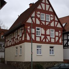
Bürgerhausstraße 2A
64 m
Bürgerhausstraße 4
46 m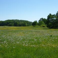
Naturschutzgebiet Aschborn und Uderborn bei Rödgen
1.7 km
Ehemalige Zigarrenfabrik
132 m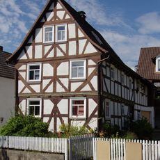
Zum Bahnhof 15
196 m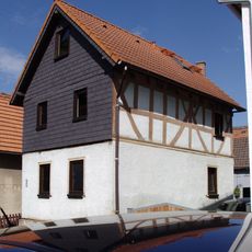
Bürgerhausstraße 8
30 m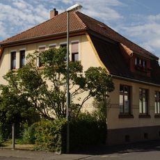
Ehemalige Kleinkinderschule
73 m
Dreieck 4
80 m
Lange Ortsstraße 22
103 m
Wasserwerk
1.5 km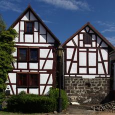
Dreieck 9
76 m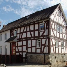
Dreieck 8
87 m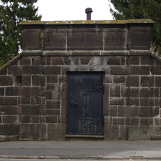
Wasserbehälter
298 m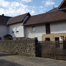
Udersbergstraße 1
23 m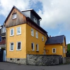
Udersbergstraße 2
30 m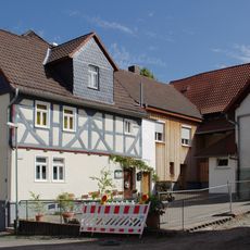
Dorfgasthaus
47 m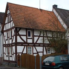
Bürgerhausstraße 5
55 m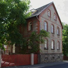
Zum Bahnhof 12
173 m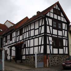
Rosengasse 6
171 m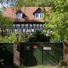
Sachgesamtheit Burg
335 m
Zum Bahnhof 4
124 m
Udersbergstraße 6
32 m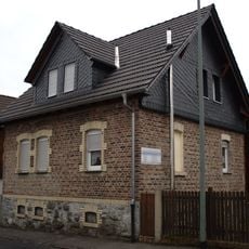
Rosengasse 22
254 m
Lange Ortsstraße 34
164 m
Kirchenring 15
31 mVisited this place? Tap the stars to rate it and share your experience / photos with the community! Try now! You can cancel it anytime.
Discover hidden gems everywhere you go!
From secret cafés to breathtaking viewpoints, skip the crowded tourist spots and find places that match your style. Our app makes it easy with voice search, smart filtering, route optimization, and insider tips from travelers worldwide. Download now for the complete mobile experience.

A unique approach to discovering new places❞
— Le Figaro
All the places worth exploring❞
— France Info
A tailor-made excursion in just a few clicks❞
— 20 Minutes