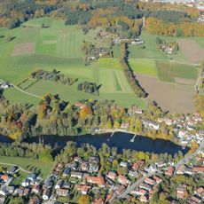
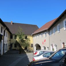
Heldenallee, Memorial tree row in Ebersberg, Germany
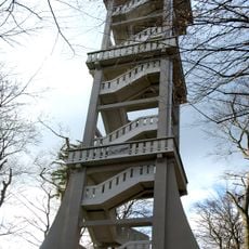
Heldenallee is a tree-lined path of linden trees stretching from Klostersee toward a hilltop lookout, each tree marked with a nameplate honoring a fallen soldier. The route begins as a level paved path suitable for walking and cycling, then continues upward toward the mountain restaurant.
The tree row was planted between 1929 and 1937, with 84 linden trees in total, to commemorate local soldiers who died during World War I. This project took place about a decade after the war ended and reflects how communities at that time chose to honor their fallen.
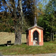
The trees carry nameplates honoring fallen soldiers, showing how the local community preserves its history through this living memorial. Visitors can read the names while walking and reflect on how this place keeps the memory of individuals alive.
The lower section is easy to navigate by foot or bicycle, while the upper part becomes steeper and requires sturdy footwear. It is best to visit during warmer months, and visitors should allow enough time to read the individual nameplates along the route.
Each tree is connected to detailed documentation that traces back to the city's original wartime records, making every nameplate verifiable. This turns the path into a place where history can be verified and explored beyond simple remembrance.
The community of curious travelers
AroundUs brings together thousands of curated places, local tips, and hidden gems, enriched daily by 60,000 contributors worldwide.