
Pfarrhof, Bauwerk in Deutschland
Location: Westendorf
Address: An der Halde 10
GPS coordinates: 47.93170,10.70882
Latest update: March 6, 2025 12:13
Mariä Himmelfahrt
2.8 km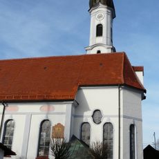
St. Stephan (Unterostendorf)
2.7 km
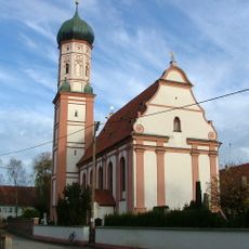
Pfarrkirche St. Michael
151 m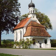
Dreifaltigkeitskapelle
1.7 km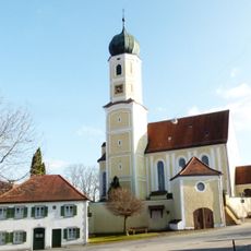
Sankt Margareta
2.2 km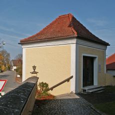
Friedhofskapelle
2.2 km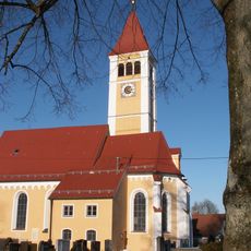
Pfarrkirche St. Peter und Paul
870 m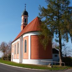
St. Antonius
1.4 km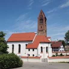
St. Michael (Obergermaringen)
2.7 km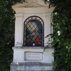
Rosenkranzbildstöcke Georgibergstraße
2.3 km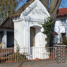
Wegkapelle
2.4 km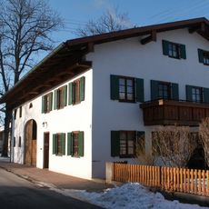
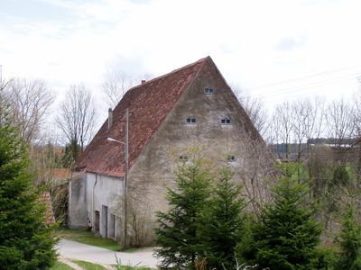
Bauernhaus
1.2 km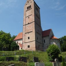
St. Georg
2.3 km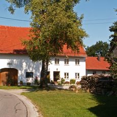
Bauernhaus
2.5 km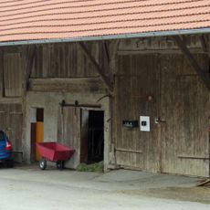
Stadel
2.4 km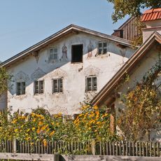
Bauernhaus
1 km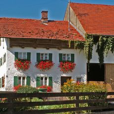
Bauernhaus
2.5 km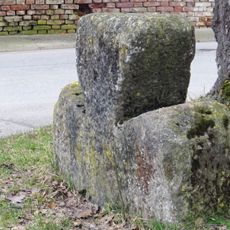
Steinkreuz
2.5 km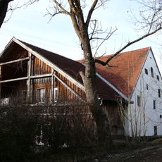
Stadel
2.7 km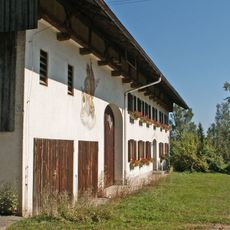
Bauernhaus
2.3 km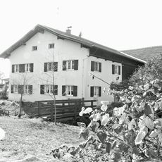
Bauernhaus
2.6 km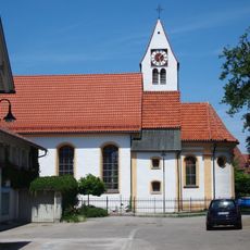
St. Johannes
2.4 km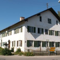
Pfarrhaus
2.2 km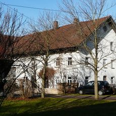
Bauernhaus
2.5 km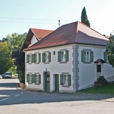
Ehem. Richterhaus
2.2 km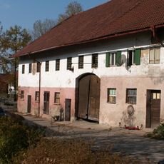
Gasthaus
648 m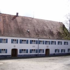
Mühle
2.1 km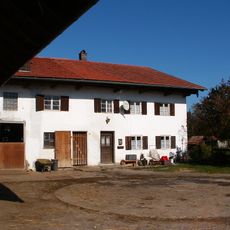
Bauernhaus Espachweg 26 in Westendorf
1.3 kmReviews
Visited this place? Tap the stars to rate it and share your experience / photos with the community! Try now! You can cancel it anytime.
Discover hidden gems everywhere you go!
From secret cafés to breathtaking viewpoints, skip the crowded tourist spots and find places that match your style. Our app makes it easy with voice search, smart filtering, route optimization, and insider tips from travelers worldwide. Download now for the complete mobile experience.

A unique approach to discovering new places❞
— Le Figaro
All the places worth exploring❞
— France Info
A tailor-made excursion in just a few clicks❞
— 20 Minutes