
Langenaltheimer Haardt, human settlement in Germany
Location: Langenaltheim
Elevation above the sea: 580 m
GPS coordinates: 48.89379,10.95002
Latest update: March 18, 2025 23:04
Solnhofen Limestone
3.7 km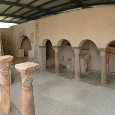
Sola-Basilika
2.9 km
Bürgermeister-Müller-Museum
3.1 km
Statue of Alois Senefelder in Solnhofen
2.9 km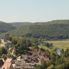
Alte Bürg
3.8 km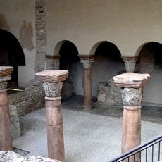
Abbaye de Solnhofen
2.9 km
St. Veit
2.9 km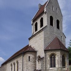
St. Sola
3.3 km
St. Johanniskirche (Langenaltheim)
1.1 km
St. Willibald
1.4 km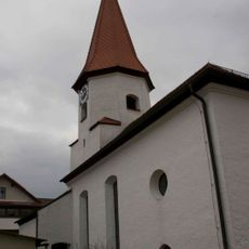
St. Trinitatis
3.8 km
Friedhofshaus und Leichenhalle
2.8 km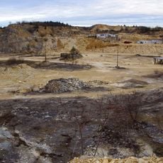
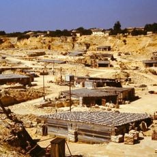
Steinbruch Langenaltheimer Haardt
1.4 km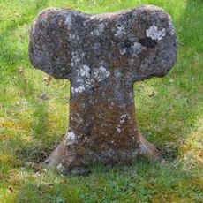
Steinkreuz 1 bei Pappenheim
4.1 km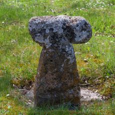
Steinkreuz 3 bei Pappenheim
4.1 km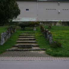
Kriegerdenkmal in der Art eines Hünengrabs
3.1 km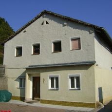
Bauernhaus
2.8 km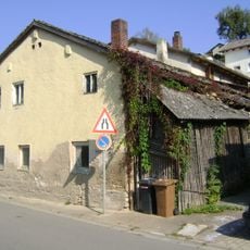
Kleinhaus
3.1 km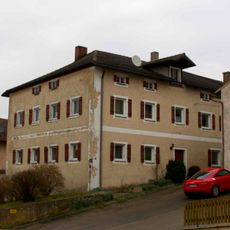
Ehemaliges Brauereigasthaus
3.8 km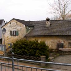
Ehemalige Dorfschmiede
3.9 km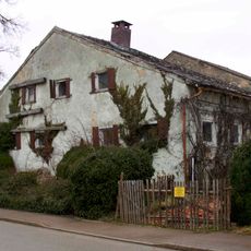
Kleiner Bauernhof
3.8 km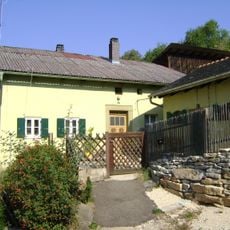
Wohnhaus
3 km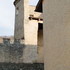
Hierzu Stadtmauer
3.8 km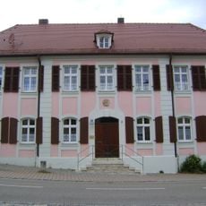
Ehemaliges ansbachisches Amtshaus, ab 1809 Pfarrhaus
2.9 km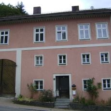
Wohnhaus
2.9 km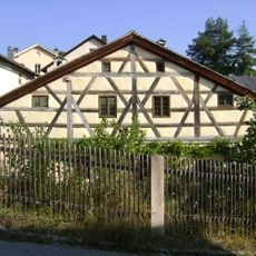
Bauernhaus
2.8 km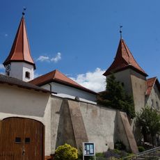
Friedhofsmauer Dorfstraße 29 in Langenaltheim
3.8 km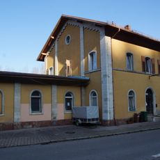
Station building at Solnhofen station
3.2 kmReviews
Visited this place? Tap the stars to rate it and share your experience / photos with the community! Try now! You can cancel it anytime.
Discover hidden gems everywhere you go!
From secret cafés to breathtaking viewpoints, skip the crowded tourist spots and find places that match your style. Our app makes it easy with voice search, smart filtering, route optimization, and insider tips from travelers worldwide. Download now for the complete mobile experience.

A unique approach to discovering new places❞
— Le Figaro
All the places worth exploring❞
— France Info
A tailor-made excursion in just a few clicks❞
— 20 Minutes