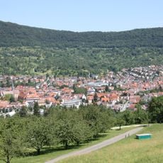
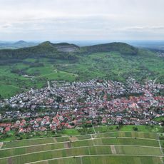
Calverbühl, Natural monument in Dettingen an der Erms, Germany.
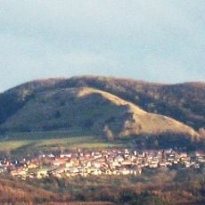
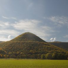
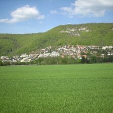
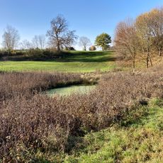
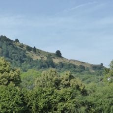
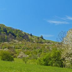
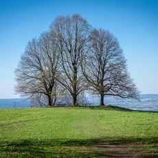
Calverbühl is a 509 m high hill south of Dettingen an der Erms, a small volcanic vent of the Swabian volcano whose rock is marked by numerous lapilli. A lime tree stands on the summit and is visible from far off. Semi-dry grassland covers the slopes.
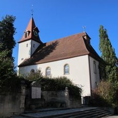
A chapel stood on the summit of Calverbühl until the Reformation in 1534. Dettingen residents made a regular pilgrimage there on Markustag, 25 April. Nothing of the chapel remains today.
The hill's name probably derives from the old field name Karpfenbühl, later altered to Calverbühl. Until the Reformation of 1534 a chapel stood on the summit, and the Dettingen population made a regular pilgrimage there on Markustag, 25 April. Today the hill with its summit lime tree and the semi-dry grassland on its slopes is a protected natural monument and geotope.
The summit is reached on foot from Dettingen an der Erms, roughly 1000 m to the north; the hill lies on the western slope of the Erms valley. The summit lime and the semi-dry grassland on the slopes are protected as a natural monument and geotope, so visitors should stay on the paths.
Geophysical surveys found a strong geomagnetic anomaly at Calverbühl, caused by ferromagnetic minerals, mainly magnetite, in the volcanic rock. Otto Mäussnest later noted that lightning strikes had strengthened the hill's magnetism. The rock itself is lapilli, not basalt.
The community of curious travelers
AroundUs brings together thousands of curated places, local tips, and hidden gems, enriched daily by 94,072 contributors worldwide.