
Recklinghausen-Süd, quarter of Recklinghausen, Germany
Location: Recklinghausen
Elevation above the sea: 50 m
GPS coordinates: 51.57245,7.21236
Latest update: April 14, 2025 00:42
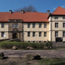
Schloss Strünkede
2.4 km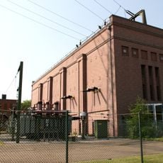
Recklinghausen substation
1.3 km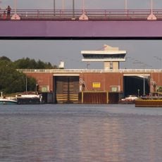
Schleuse Herne-Ost
2.2 km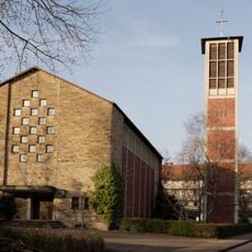
St. Barbara
2.8 km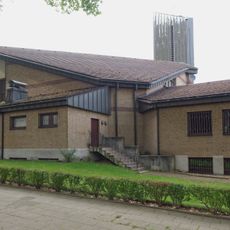
St. Joseph
2.6 km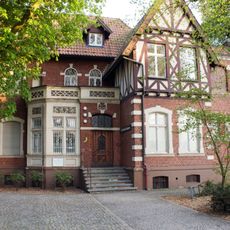
Städtische Galerie im Schlosspark Strünkede
2.4 km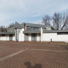
St. Pius
2.1 km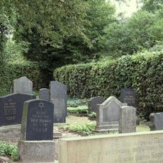
Jüdischer Friedhof
1.7 km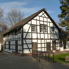
Schollbrockhaus
2.2 km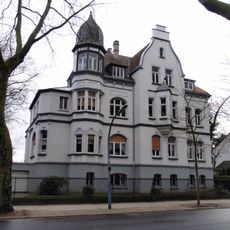
Luisenstraße 28
2.7 km
Südbad
757 m
LSG-Horsthausen
1.5 km
Kath. Gemeinde St. Marien und Vikarie
2.9 km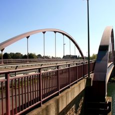
Brücke Pöppinghauser Straße
1.7 km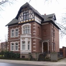
Villa, Luisenstraße 30
2.7 km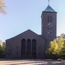
Antoniuskirche
1.3 km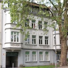
Wohngebäude Bismarckstraße 26
2.8 km
LSG-Emsring
2.5 km
Eschstraße
2.9 km
Steinmetzstraße 4-12, Goebenstraße 2-14, Bismarckstraße 1, Bahnhofstraße 141-145
2.9 km
Wohnhausblock Roonstraße 47/49/51
2.5 km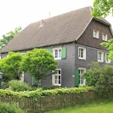
Ehem. Gerberei
1.9 km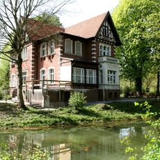
Villa Karl-Brandt-Weg 2
2.4 km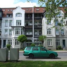
Wohngebäude Bismarckstraße 30
2.8 km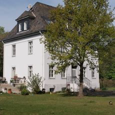
Bürogebäude des Wasser- und Schifffahrtsamtes
1.9 km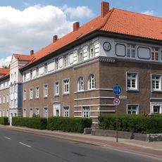
Mehrfamilienhausgruppe
2.8 km
Wohngebäude Kaiserstraße 36
2.9 km
Wohngebäude Forellstraße 16
2.1 kmReviews
Visited this place? Tap the stars to rate it and share your experience / photos with the community! Try now! You can cancel it anytime.
Discover hidden gems everywhere you go!
From secret cafés to breathtaking viewpoints, skip the crowded tourist spots and find places that match your style. Our app makes it easy with voice search, smart filtering, route optimization, and insider tips from travelers worldwide. Download now for the complete mobile experience.

A unique approach to discovering new places❞
— Le Figaro
All the places worth exploring❞
— France Info
A tailor-made excursion in just a few clicks❞
— 20 Minutes