
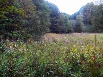
Mittel- und Unterlauf der Mattmecke sowie Talraum der Linnepe östlich von Schloss Oedenthal
Mittel- und Unterlauf der Mattmecke sowie Talraum der Linnepe östlich von Schloss Oedenthal, nature reserve in Lüdenscheid, North Rhine-Westphalia, Germany
Location: Lüdenscheid
Inception: 1993
GPS coordinates: 51.23722,7.58000
Latest update: March 3, 2025 10:14
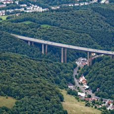
Rahmede Viaduct
3.1 km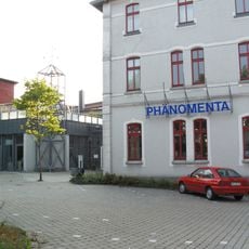
Phänomenta Lüdenscheid
3.8 km
Geschichtsmuseum Lüdenscheid
4.4 km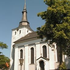
Erlöserkirche (Lüdenscheid)
4.4 km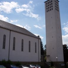
Maria Königin
3.2 km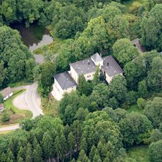
Schloss Oedenthal
572 m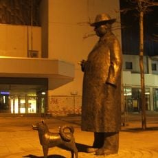
Onkel Willi und Felix
4.1 km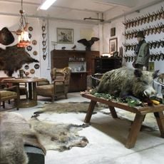
Jagdmuseum Schalksmühle
4.3 km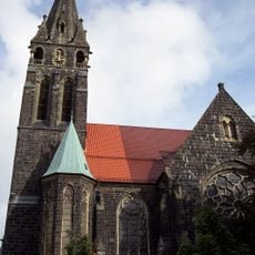
Christuskirche (Lüdenscheid)
3.5 km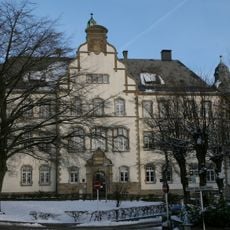
Amtsgericht Lüdenscheid
3.5 km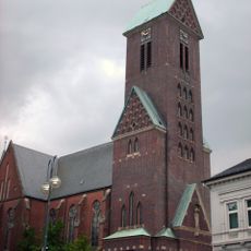
Sankt Joseph und Medardus (Lüdenscheid)
4.4 km
Rathaus Lüdenscheid
4.1 km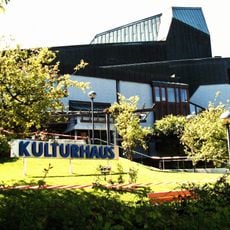
Kulturhaus Lüdenscheid
4.4 km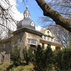
Villa Hueck
4.4 km
Erlöserkirche (Schalksmühle)
3.5 km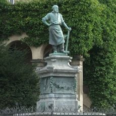
Selve-Brunnen
4.4 km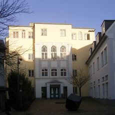
Lüdenscheid City Library
4.5 km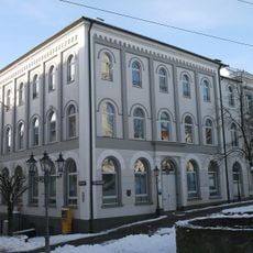
Altes Rathaus Lüdenscheid
4.4 km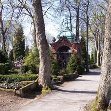
Selve-Mausoleum
3.6 km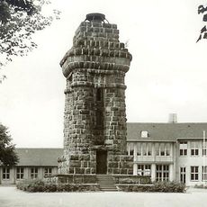
Bismarcksäule
4.6 km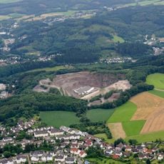
Steinbruch Lösenbach
2.2 km
Rölveder Mühle
4.7 km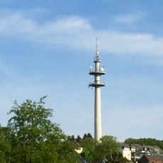
Fernmeldeturm Lange Sicht
2.6 km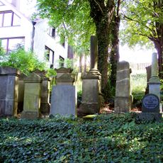
Neuer Jüdischer Friedhof
3.8 km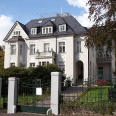
Villa Berg
4.2 km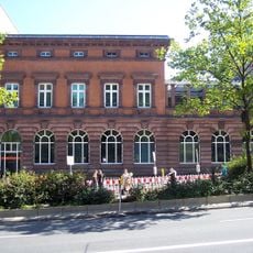
Reichs- und Landeszentralbank Lüdenscheid
4.2 km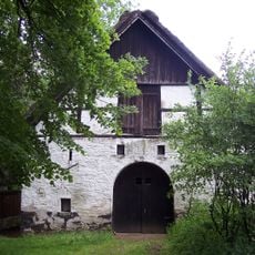
Freihof Buckesfeld
2.3 km
Johanneskirche (Lüdenscheid)
2.6 kmReviews
Visited this place? Tap the stars to rate it and share your experience / photos with the community! Try now! You can cancel it anytime.
Discover hidden gems everywhere you go!
From secret cafés to breathtaking viewpoints, skip the crowded tourist spots and find places that match your style. Our app makes it easy with voice search, smart filtering, route optimization, and insider tips from travelers worldwide. Download now for the complete mobile experience.

A unique approach to discovering new places❞
— Le Figaro
All the places worth exploring❞
— France Info
A tailor-made excursion in just a few clicks❞
— 20 Minutes