Enable Location

We need your location to show you interesting places around you

Discover nearby places

Find interesting locations and hidden gems around you

Precise directions

Get accurate directions and distances to places

Your location is never shared with other users. It's only used when you tap the location button.

Lüdenscheid

Log in to your account

Start exploring — it's free

Trusted by 62,844 travelers worldwide

Continue with Google
Continue with Apple
or

We will send you a code to connect

By continuing, you accept our Terms and Conditions and our Privacy Policy

Check your inbox

We've sent a pincode in your inbox. Please enter the code below.

Lüdenscheid, Industrial municipality in Märkischer Kreis, Germany

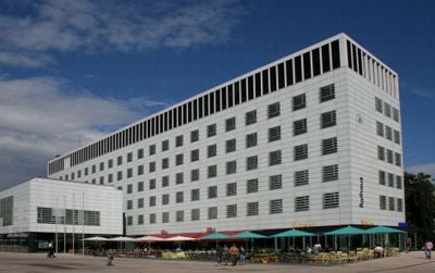
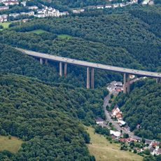
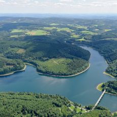
Lüdenscheid is a district capital in Märkischer Kreis in North Rhine-Westphalia, nestled between the river valleys of Lenne and Volme at around 420 meters elevation. The town stretches across wooded hills and flat plateaus where industrial zones and residential neighborhoods merge together.

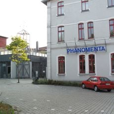
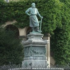
The settlement began in the 9th century as a Frankish farmstead and received town rights in 1278 from the Count of Altena. During the Middle Ages it joined the Hanseatic League and developed into an early center of metal industry through iron working.

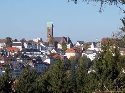
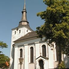
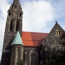
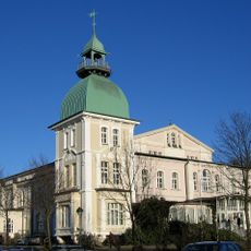
The Protestant Church of the Redeemer in the center preserves its Romanesque tower from the 11th century, now the oldest standing structure in town. Around the Alter Markt, half-timbered houses show the early building tradition of this Westphalian hill settlement.

The old town sits on a ridge above the valleys and can be reached via several winding approach roads that often pass through forests. Parking areas are located at the edge of the center, from where the pedestrian zone and the church can be reached on foot.

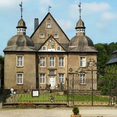
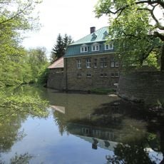
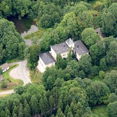
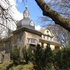
Water Castle Neuenhof from the late 17th century stands south of the center on an artificial island in the middle of a pond. The baroque manor house with its rectangular layout and preserved outbuildings shows the rural aristocratic architecture of the Sauerland region.

The community of curious travelers

AroundUs brings together thousands of curated places, local tips, and hidden gems, enriched daily by 60,000 contributors worldwide.

Start exploring
Elevation above the sea
423 m
Shares border with
Kierspe, Halver, Schalksmühle
GPS coordinates
51.21977,7.62730
Latest update
December 12, 2025 23:24
« Lüdenscheid - Industrial municipality in Märkischer Kreis, Germany » is provided by Around Us (aroundus.com). Images and texts are derived from Wikimedia project under a Creative Commons license. You are allowed to copy, distribute, and modify copies of this page, under the conditions set by the license, as long as this note is clearly visible.

Discover hidden gems everywhere you go!

From secret cafés to breathtaking viewpoints, skip the crowded tourist spots and find places that match your style. Our app makes it easy with voice search, smart filtering, route optimization, and insider tips from travelers worldwide. Download now for the complete mobile experience.

Around Us App Screenshot

A unique approach to discovering new places

Le Figaro

All the places worth exploring

France Info

A tailor-made excursion in just a few clicks

20 Minutes

Around Us
Travel Guide & Maps
Download

Send to your phone

QR Code
1

Open the camera app on your mobile.

2

Point at the QR code with your camera. A notification will appear.

3

Tap the notification to open the link.