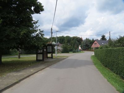
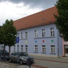
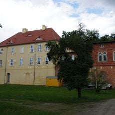
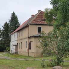
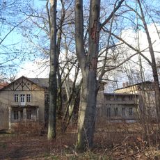
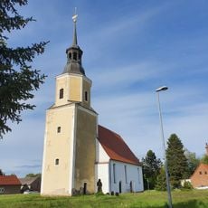
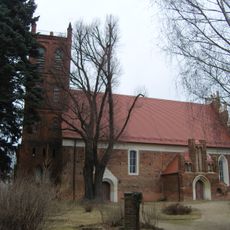
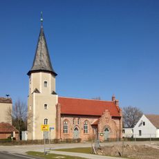
Illmersdorf, human settlement in Germany
Location: Drebkau
Elevation above the sea: 75 m
Part of: Sorbian settlement area
GPS coordinates: 51.69361,14.17556
Latest update: April 24, 2025 12:20
Klinikum Kolkwitz
5.6 km
Kolkwitz Bunker
5.2 km
Schiebell-Grundschule
4.9 km
Schloss Drebkau
4.8 km
Gutshaus Laubst
4.6 km
Schloss Raakow
6.6 km
Herrenhaus Laasow
6.7 km
Village church Illmersdorf
41 m
Village church Greifenhain
5.9 km
Dorfkirche Reddern
6.5 km
Laasow church
6.4 km
Village church Leuthen
4.9 km
Village church Laubst
4.6 km
Village church Krieschow
7 km
Village church Hänchen
7.7 km
Rathaus Drebkau
5.1 km
Wüstenhain Church
4.5 km
Town church Drebkau
4.9 km
Casel Village Church
3.5 km
Village church Schorbus
6.6 km
Dorfkirche Neupetershain-Nord
7.7 km
St.Paul's church Drebkau
6.2 km
Biciclechurch Glinzig
6.2 km
Naturdenkmal Stieleiche (Quercus robur) ca. 15 m südlich der Kirche in Neupetershain-Nord
7.7 km
Wüstenhain War Memorial
4.6 km
Naturdenkmal Stieleiche Dorfanger am Gedenkstein in Laubst
4.6 km
Cottbuser Straße 1
7.6 km
Gedenktafel für Bogumił Šwjela
6.7 kmReviews
Visited this place? Tap the stars to rate it and share your experience / photos with the community! Try now! You can cancel it anytime.
Discover hidden gems everywhere you go!
From secret cafés to breathtaking viewpoints, skip the crowded tourist spots and find places that match your style. Our app makes it easy with voice search, smart filtering, route optimization, and insider tips from travelers worldwide. Download now for the complete mobile experience.
A unique approach to discovering new places❞
— Le Figaro
All the places worth exploring❞
— France Info
A tailor-made excursion in just a few clicks❞
— 20 Minutes