
Ahlem, city district in Hanover, Germany
Location: Ahlem-Badenstedt-Davenstedt
Elevation above the sea: 68 m
Shares border with: Stöcken, Herrenhausen, Leinhausen, Limmer, Davenstedt
GPS coordinates: 52.38500,9.66540
Latest update: March 10, 2025 13:37
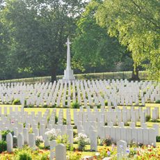
Hanover War Cemetery
1.1 km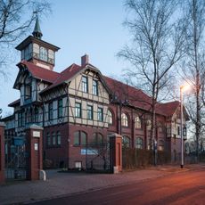
Ahlemer Turm
572 m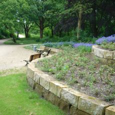
Willy-Spahn-Park
632 m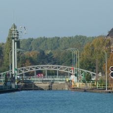
Linden harbour lock
1.3 km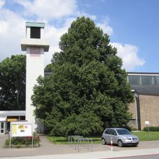
Martin-Luther-Kirche
33 m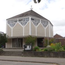
Maria Trost
746 m
Stadtteilfriedhof Ahlem
918 m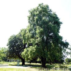
Trees at sukkah Ahlem
910 m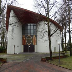
St. Adalbert
1.6 km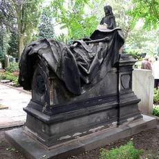
Ernst von Malortie grave
1.5 km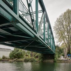
Bridge Ziegelstraße over the Linden branch canal
569 m
Wunstorfer Landstraße 47, Hannover
127 m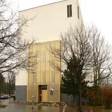
Synagoge der Liberalen Jüdischen Gemeinde Hannover
1.8 km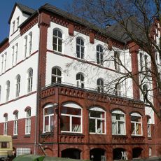
Girls' house of the former Israelite Horticultural School
711 m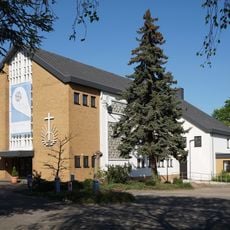
New Apostolic church
1.7 km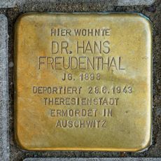
Stolperstein dedicated to Hans Freudenthal
1.5 km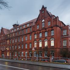
Wunstorfer Straße 130, Hannover
1.1 km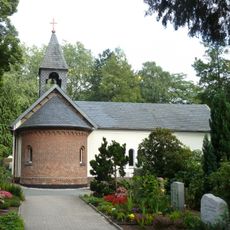
Herrenhausen cemetery chapel
1.5 km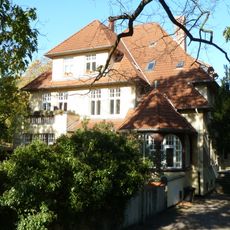
Sackmannstraße 32, Hannover
1.5 km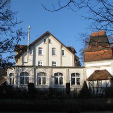
In der Steinbreite 38, Hannover
1.2 km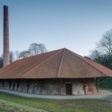
Industrial monument lime kiln
569 m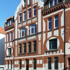
Steinfeldstraße 3, Hannover
1.3 km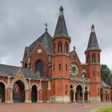
Friedhofskapelle Stadtfriedhof Stöcken
1.8 km
Friedhofskapelle Stadtteilfriedhof Ahlem
891 m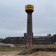
Wasserturm Wunstorfer Straße 130, Hannover
938 m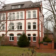
Headquarters of the former Israelite Horticultural School
938 m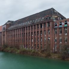
Wunstorfer Straße 130, Hannover
910 m
Twedenweg 7, Hannover
1.5 kmReviews
Visited this place? Tap the stars to rate it and share your experience / photos with the community! Try now! You can cancel it anytime.
Discover hidden gems everywhere you go!
From secret cafés to breathtaking viewpoints, skip the crowded tourist spots and find places that match your style. Our app makes it easy with voice search, smart filtering, route optimization, and insider tips from travelers worldwide. Download now for the complete mobile experience.

A unique approach to discovering new places❞
— Le Figaro
All the places worth exploring❞
— France Info
A tailor-made excursion in just a few clicks❞
— 20 Minutes