
Galgenberg, Berg in der Gemeinde Zeuthen
Location: Zeuthen
Elevation above the sea: 67 m
GPS coordinates: 52.33137,13.62104
Latest update: June 16, 2025 13:51
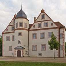
Schloss Königs Wusterhausen
3.7 km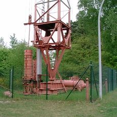
Funkerberg
2.9 km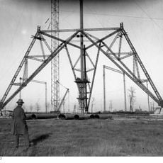
Königs Wusterhausen Central Tower
3.1 km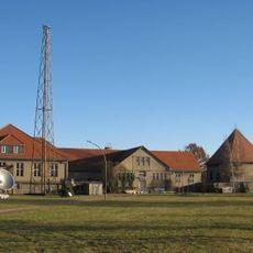
Broadcasting Museum Königs Wusterhausen
3 km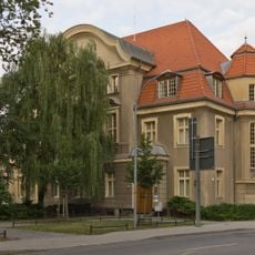
Amtsgericht Königs Wusterhausen
3.7 km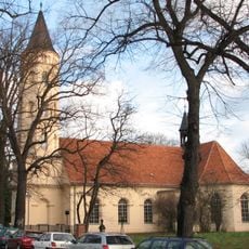
Holy-Cross church Königs Wusterhausen
3.5 km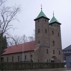
St. Elisabethkirche
4.1 km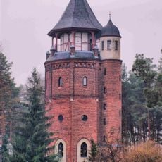
Königs Wusterhausen Water Tower
3.2 km
Wildorado
1.3 km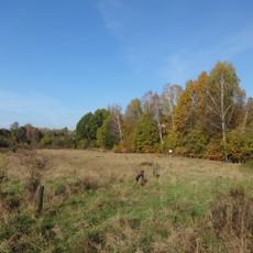
Höllengrund–Pulverberg
433 m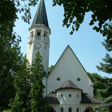
Martin-Luther-Church Zeuthen
2.5 km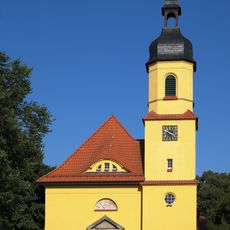
Village church Niederlehme
2.5 km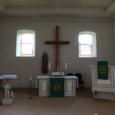
Dorfkirche
1.2 km
Wüstemark
2.9 km
Kreuzkirche Schulzendorf
4.1 km
Friedenskirche
1.8 km
Capitol
3.9 km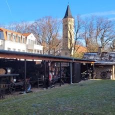
Dahmeland Museum
3.5 km
Bücherschrank Schulzendorf
4.1 km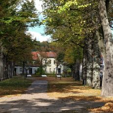
Avenue of large-leaved lime trees in front of the church
3.5 km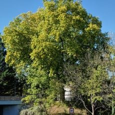
Platanus tree 1 (east) by the bridge
3.9 km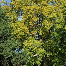
Platanus tree 2 (west) by the bridge
3.8 km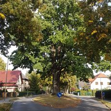
Eichwalder Friedenseiche
4.1 km
Insel Zeuthener Wall
3.1 km
Eiskeller Rauchfangswerder
2.4 km
World War I memorial Niederlehme
2.5 km
Niemöller Straße 10, Zeuthen
2.7 km
Public bookcase Niederlehme
3.8 kmVisited this place? Tap the stars to rate it and share your experience / photos with the community! Try now! You can cancel it anytime.
Discover hidden gems everywhere you go!
From secret cafés to breathtaking viewpoints, skip the crowded tourist spots and find places that match your style. Our app makes it easy with voice search, smart filtering, route optimization, and insider tips from travelers worldwide. Download now for the complete mobile experience.

A unique approach to discovering new places❞
— Le Figaro
All the places worth exploring❞
— France Info
A tailor-made excursion in just a few clicks❞
— 20 Minutes