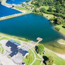
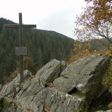
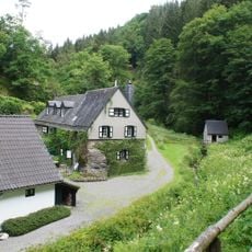
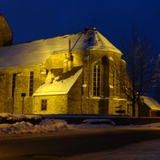
Rurtal mit den Felsbildungen der Uhusley, Protected area near Simmerath, Germany
Description
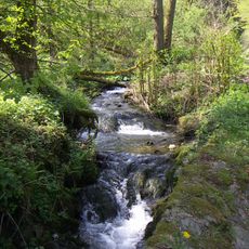
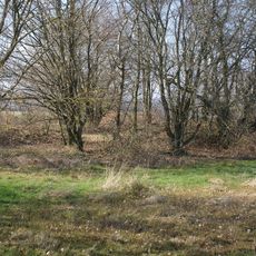
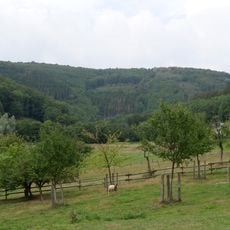
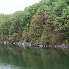
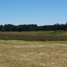
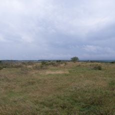
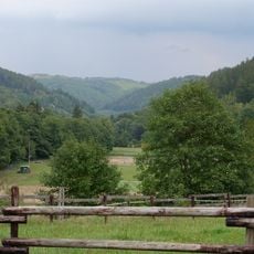
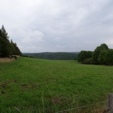
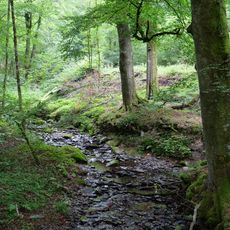
The Rurtal mit den Felsbildungen der Uhusley is a protected area along the Rur River stretching from Monschau to the Rur Dam, characterized by steep, rock-strewn slopes with narrow valley sections. Vertical cliff formations tower from the riverbed to the hilltops, creating dramatic natural walls throughout the site.
History
The site received protection status as a nature reserve in 1999, followed by additional designation as a Flora-Fauna habitat in 2004. This recognition reflected the area's importance for safeguarding rare species and its distinctive geological features.
Culture
The area takes its name from the eagle owls that nest in the rock crevices of the steep valley walls and actively defend their territories.
Practical
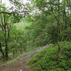
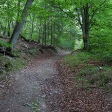
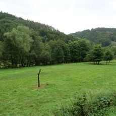
The area offers multiple hiking trails of varying difficulty levels, many of which can be tracked with GPS data. Sturdy footwear is recommended, as paths run near cliff edges and steep drop-offs.
Did you know?
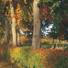
Douglas firs line certain paths and release a citrus-like scent when their green needles are crushed, creating a memorable sensory moment. Many visitors discover this unexpected fragrance when brushing against the trees along the trail.
AroundUs brings together thousands of curated places, local tips, and hidden gems, enriched daily by 60,000 contributors worldwide. Discover all places nearby (Simmerath).
Stauanlage Eiserbach
4.6 km
Alsdorfer Bergmannskreuz
3.7 km
Saint John the Baptist Church (Simmerath)
4.9 km
St. Michael
1.4 km
Belgenbacher Mühle
4.2 km
Saints Peter and Paul Church (Kesternich)
3.9 km
St. Barbara
5.2 km
St. Nikolaus
2.7 km
St. Cornelius
5.1 km
Tiefenbachtal bei Simmerath mit Nebenbächen
2.8 km
St. Lucia
3.1 km
Buchenwald Dedenborn
2.5 km
St. Bartholomäus
1.8 km
Meyssenburg
3 km
St. Hubertus
1.6 km
Erkensruhrtal mit Nebenbächen und Felsen am Oberseeufer
1.9 km
Ostufer des Obersees mit Felshängen
4.4 km
Quellwiesen Steckelbüchel
4.7 km
Nationalpark-Tor Rurberg
4.6 km
Belgenbachtal mit Seilfertsief, Drossel-und Holzbachtal
4.9 km
Heckenlandschaft südlich Kesternich
3.3 km
LSG-Hirschrotter und Erkensruhrer Tal
2 km
LSG-Wald zwischen Erkensruh und Truppenuebungsplatz Vogelsang
1.9 km
Wald zwischen Dedenborn und Rurberg
2.9 km
LSG-Leykaul
3.3 km
Pügelbach
4.1 km
Bachtäler im Truppenübungsplatz Vogelsang
4.7 km
Müsauels-Berg
3.6 kmDiscover hidden gems everywhere you go!
From secret cafés to breathtaking viewpoints, skip the crowded tourist spots and find places that match your style. Our app makes it easy with voice search, smart filtering, route optimization, and insider tips from travelers worldwide. Download now for the complete mobile experience.
A unique approach to discovering new places❞
— Le Figaro
All the places worth exploring❞
— France Info
A tailor-made excursion in just a few clicks❞
— 20 Minutes