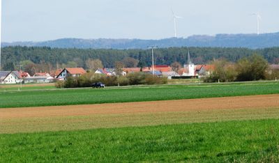
Rocksdorf, Rural settlement in Upper Palatinate, Bavaria, Germany.
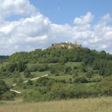
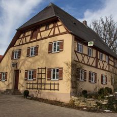
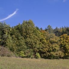
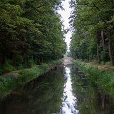
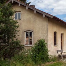
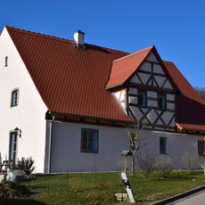
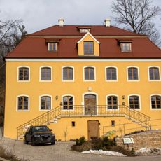
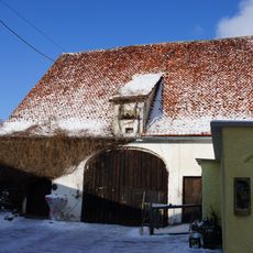
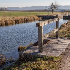
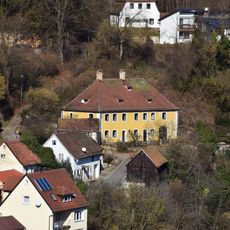
Rocksdorf is a rural village north of Sulzbürg at 408 meters (1338 feet) elevation, with traditional Bavarian buildings and surrounding forests. Houses line up around the village center while gentle hills and fields shape the landscape and walking paths lead through the wooded areas.
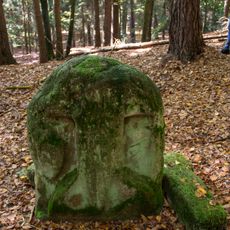
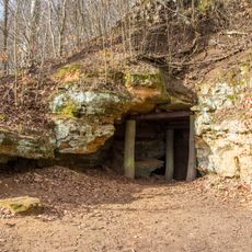
The settlement was first mentioned in 1129 and belonged for centuries to different ecclesiastical and noble estates of the Upper Palatinate. Archaeologists discovered a Bronze Age burial mound with a fibula nearby, pointing to even older settlement in the area.
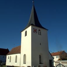
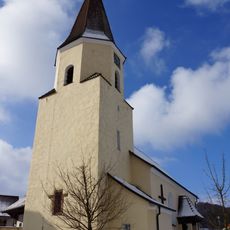
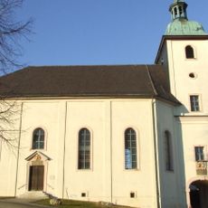
The Protestant Church of Saint Elisabeth forms the heart of village life with its Romanesque walls and vaulted choir. Visitors find here a quiet place that reflects the Protestant tradition of the region and remains in use for worship today.
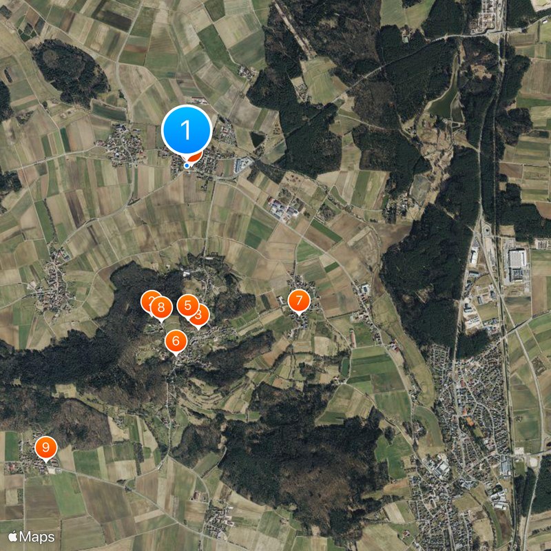
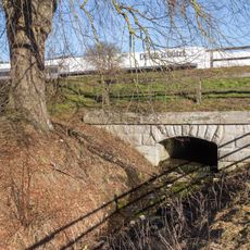
Local roads connect the village to State Road 2220 between Wettenhofen and Federal Highway 299, with Nuremberg about 42 kilometers (26 miles) away. Visitors should plan to use their own vehicle, as public transport is limited and distances between places require car access.
The village moved from Kruppach municipality to Mühlhausen municipality in 1972 during the Bavarian municipal boundary reform. This incorporation changed the administrative affiliation permanently, while the location and village appearance remained the same.
The community of curious travelers
AroundUs brings together thousands of curated places, local tips, and hidden gems, enriched daily by 60,000 contributors worldwide.