
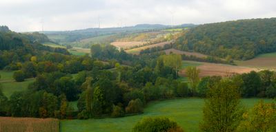
Creglingen, protected landscape area in Baden-Württemberg, Germany
Location: Creglingen
Location: Niederstetten
Location: Weikersheim
Inception: 1997
GPS coordinates: 49.45183,10.08366
Latest update: March 9, 2025 18:47
Schloss Archshofen
765 m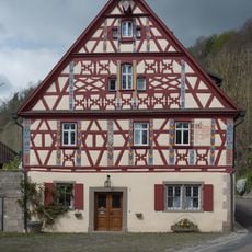
Hautschenmühle
2.1 km
Burg Finsterlohr
2.1 km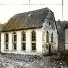
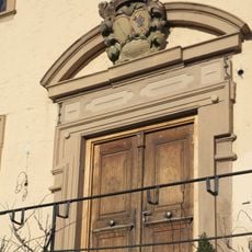
Synagoge Archshofen
856 m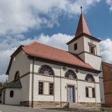
St. Veit
2.5 km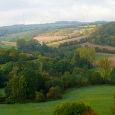
Taubergrund bei Creglingen
764 m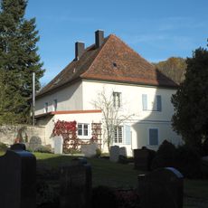
Tauberzell 11
2.5 km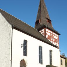
St. Ägidius
733 m
Brunnen
2.4 km
St. Margaretha
2.1 km
Tauberzell 25
2.4 km
Flachmoor Engelshütte
2.4 km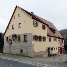
Tauberzell 9
2.6 km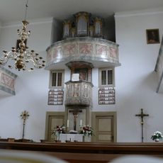
Evangelische Kirche Freudenbach
2.7 km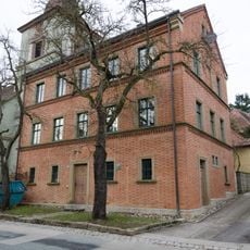
Tauberzell 10
2.5 km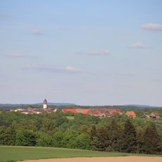
Wasserturm Schön
597 m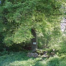
Linde und Rotbuche Burkel
1.4 km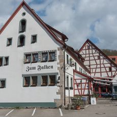
Tauberzell 41
2.3 km
Doline Stöckich
2.6 km
Feuchtwiese Heiligen
1.9 km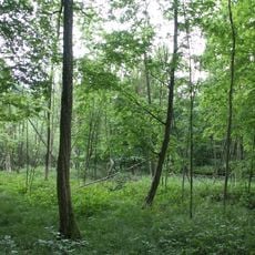
Bruchwald Burgstall Sanderer
2.9 km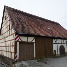
Tauberzell 13
2.5 km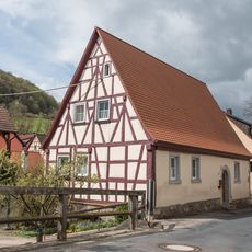
Wohnhaus
2.5 km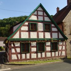
Tauberzell 14
2.5 km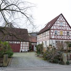
Tauberzell 23
2.4 km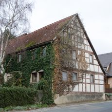
Tauberzell 20
2.4 km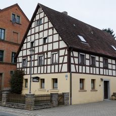
Tauberzell 8
2.6 km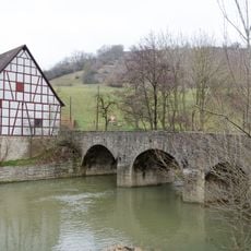
Tauberbrücke
2.7 kmReviews
Visited this place? Tap the stars to rate it and share your experience / photos with the community! Try now! You can cancel it anytime.
Discover hidden gems everywhere you go!
From secret cafés to breathtaking viewpoints, skip the crowded tourist spots and find places that match your style. Our app makes it easy with voice search, smart filtering, route optimization, and insider tips from travelers worldwide. Download now for the complete mobile experience.

A unique approach to discovering new places❞
— Le Figaro
All the places worth exploring❞
— France Info
A tailor-made excursion in just a few clicks❞
— 20 Minutes