Niederstetten, municipality in Germany
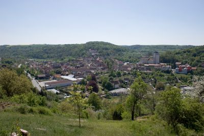
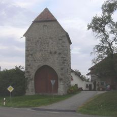
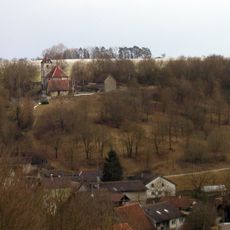
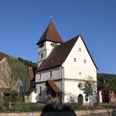
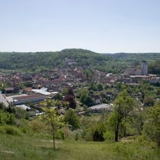
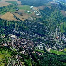
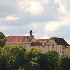
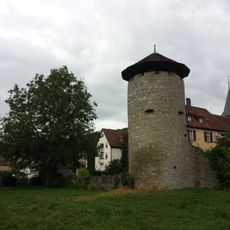
Niederstetten is a small town in the Main-Tauber-Kreis region with traditional half-timbered houses and a historic skyline. The Schimmelturm, a large round tower beside the Town Hall, sits among residential buildings and is framed by the elevated terrain of the Vorbachtal valley landscape.
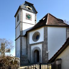
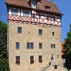
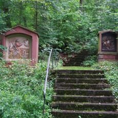
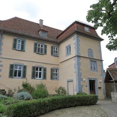
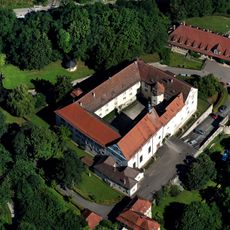
The town was founded around 780 and preserves its medieval structure today. Schloss Haltenbergstetten, home to the Hohenlohe-Jagstberg family since the early 1800s, shapes the town's historical character.
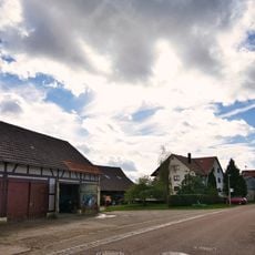
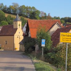
The name reflects local heritage, and the town's character is shaped by half-timbered houses with colorful facades that show its craftsmanship traditions. This architectural style connects to Franconian culture, where people value local food, traditional music, and time spent outdoors.
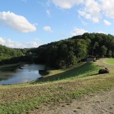
The town sits elevated above the landscape with views across the surrounding area, which helps with orientation. Its location between Bad Mergentheim and Rothenburg ob der Tauber makes it a good base for exploring the wider region.
The town has a connection to Zeppelin history through Albert Sammt, a local officer who worked as a Zeppelin pilot. The Albert-Sammt-Zeppelin-Museum documents this rare local link to early aviation history.
The community of curious travelers
AroundUs brings together thousands of curated places, local tips, and hidden gems, enriched daily by 60,000 contributors worldwide.