
Teimer, hill in Germany
Location: North Rhine-Westphalia
Location: Kalletal
Elevation above the sea: 326 m
GPS coordinates: 52.07425,8.94103
Latest update: July 12, 2025 08:37
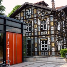
Junkerhaus
5.6 km
Bonstapel
5.7 km
Piepenkopf
3.9 km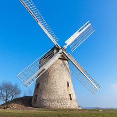
Windmühle Bavenhausen
1 km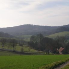
Amelungsburg
4.2 km
Rafelder Berg
4.7 km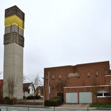
Heilig Geist
5.3 km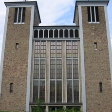
St. Pauli
5.6 km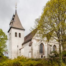
Petruskirche
3.3 km
Neuer Jüdischer Friedhof
5.2 km
Pauluskirche
3.5 km
Evangelische Kirche Hillentrup
4.7 km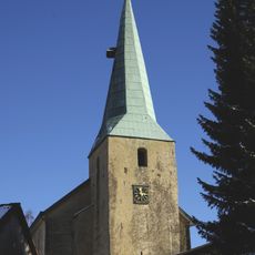
Kirche Lüdenhausen
4.8 km
Mariä Himmelfahrt (Hohenhausen)
3.3 km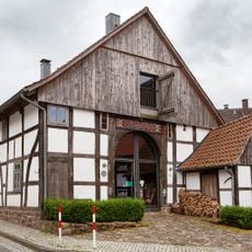
House with mikwe
5.2 km
Bredaer Bruch
5.2 km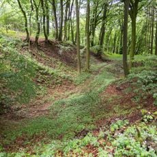
Teimer
178 m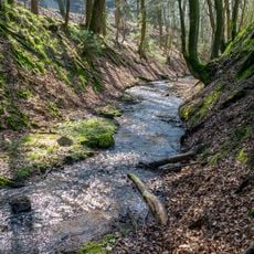
LSG-Maibolte
3.6 km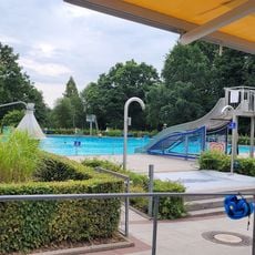
Freibad Kalletal Hohenhausen
3.5 km
Rinteln-Hamelner Weserbergland mit Vlothoer Weserdurchbruch und Rintelner Talweitung sowie Lipper Bergland mit Krankenhagener Kuppen, Heidelbecker Höhen, Hohenhauser und Taller Bergland
5.2 km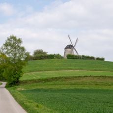
LSG-Hanggruenland am Windberg
955 m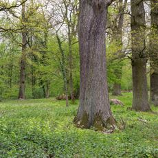
LSG-Westliches und Suedliches Lipper Bergland
4.8 km
LSG-Radsiekbach
2.7 km
LSG-Gruenland - Heckenkomplex am Schanzenberg
652 m
LSG Maiboltetal
4.7 km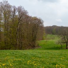
LSG-Wald- und Gruenlandkomplex Hillentrup
4.1 km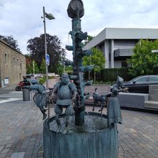
Chancellor Fountain
5.7 km
LSG-Bungental/Schellental
1.7 kmReviews
Visited this place? Tap the stars to rate it and share your experience / photos with the community! Try now! You can cancel it anytime.
Discover hidden gems everywhere you go!
From secret cafés to breathtaking viewpoints, skip the crowded tourist spots and find places that match your style. Our app makes it easy with voice search, smart filtering, route optimization, and insider tips from travelers worldwide. Download now for the complete mobile experience.

A unique approach to discovering new places❞
— Le Figaro
All the places worth exploring❞
— France Info
A tailor-made excursion in just a few clicks❞
— 20 Minutes