Kalletal, Rural municipality in the Lippe district of North Rhine-Westphalia, Germany.
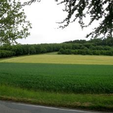
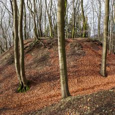
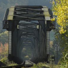
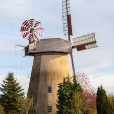
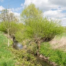
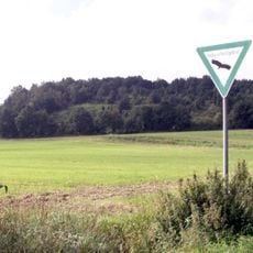
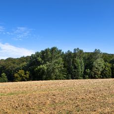
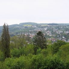
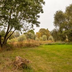
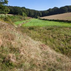
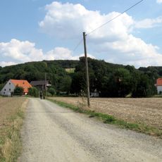
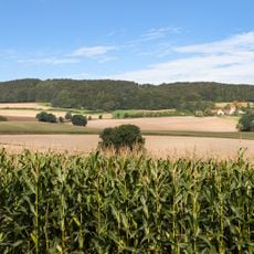
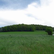
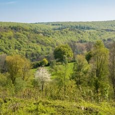
This administrative territory encompasses approximately 112 square kilometers at an elevation of 214 meters above sea level, comprising seventeen distinct villages spread across rolling countryside characterized by agricultural fields, wooded areas, and natural waterways that define the regional landscape.
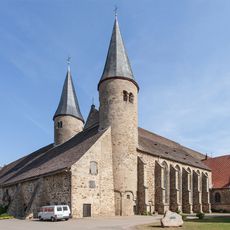
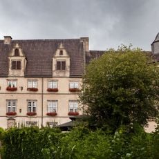
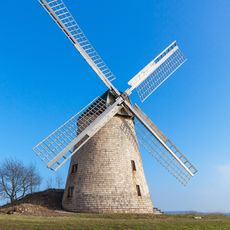
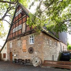
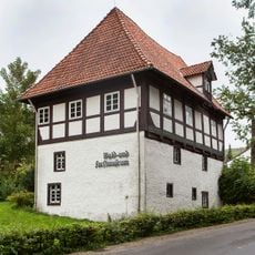
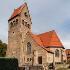
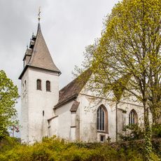
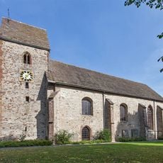
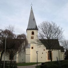
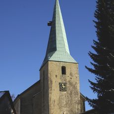
The Kalletal area evolved over centuries from a collection of medieval villages that developed primarily through agricultural activities, maintaining architectural remnants and traditional building patterns that reflect the historical settlement development common in rural German communities throughout different historical periods.
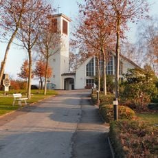
Community life centers around local festivals, village celebrations, and seasonal events that bring together residents from different hamlets, fostering strong social bonds based on German rural traditions, sports clubs, cultural associations, and cooperative activities that maintain local identity.
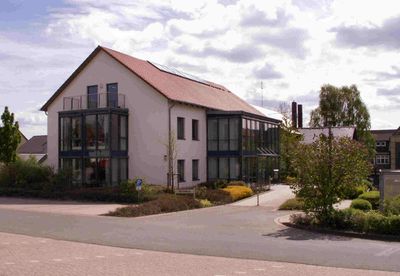
The modern town hall, renovated in 2010, serves as the main administrative center for municipal services, while visitors can access local information through the official website www.kalletal.de and use postal code 32689 for correspondence with local authorities.
This municipality participates in a sustainable mobility network involving over 300 communities since 2016, organizing innovative events such as picnic concerts combined with guided forest walks to engage residents in environmental awareness and outdoor education activities.
The community of curious travelers
AroundUs brings together thousands of curated places, local tips, and hidden gems, enriched daily by 60,000 contributors worldwide.