
Michendorfer Berg, Hügel in Brandenburg
Location: Brandenburg
Elevation above the sea: 78.9 m
GPS coordinates: 52.29322,13.04647
Latest update: April 10, 2025 05:44
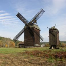
Paltrockmühle Langerwisch
4 km
Spargelmuseum Beelitz
5.5 km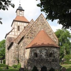
Wildenbruch church
1.5 km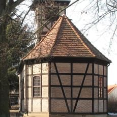
Dorfkirche Michendorf
2.2 km
Lienewitz
5.4 km
Backofenberg
4.5 km
Lienewitz-Caputher Seen- und Feuchtgebietskette
5.1 km
Seddin church
3.3 km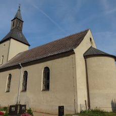
Dorfkirche Fresdorf
3.2 km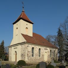
Dorfkirche Langerwisch
2.9 km
Kunersdorf Försterei
3.4 km
Ziebchenberg
4.1 km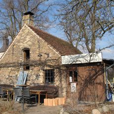
Schmiede Luckenwalder Straße 222
3.2 km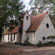
Church Wilhelmshorst
4.4 km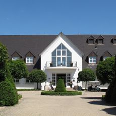
Golf- und Country Club Seddiner See
1.6 km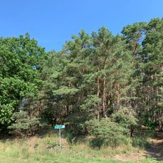
Weinberg
3.4 km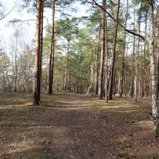
Saarmunder Berg
4.8 km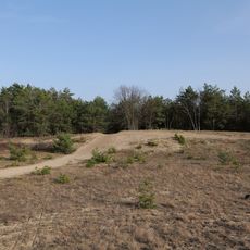
Eichberg
4.9 km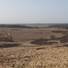
Saarmunder Berg
4.4 km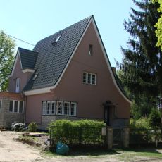
Haus Gondula
4.2 km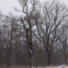
Naturdenkmal Eichen fast unmittelbar nördlich des Großen Lienewitzsee (am Badestrand) in Michendorf
4.9 km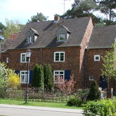
Wohnanlage Irisgrund, Peter-Huchel-Chaussee
3.9 km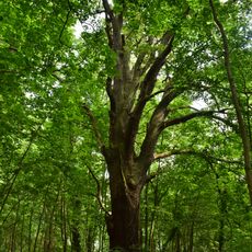
Naturdenkmal Eiche Nordufer des Großen Seddiner Sees, östlich vom Zeltplatz in Neuseddin
2.6 km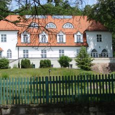
Landhaus von Renesse
5.1 km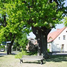
Naturdenkmal Eichen am Denkmal
2.9 km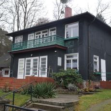
Rosenweg 32
4.1 km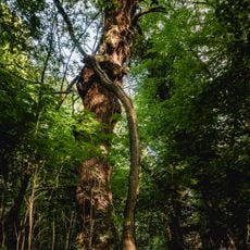
Naturdenkmal Eichen nördlich Seddiner See an Heimkreisvolkshochschule (ehem. Revierförsterei), östlich Straßenabzweig B2 nach Ferch in Neuseddin
3 km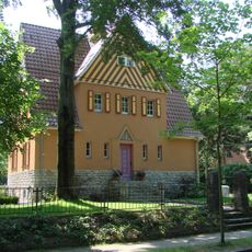
Haus Koschitzky
4.1 kmReviews
Visited this place? Tap the stars to rate it and share your experience / photos with the community! Try now! You can cancel it anytime.
Discover hidden gems everywhere you go!
From secret cafés to breathtaking viewpoints, skip the crowded tourist spots and find places that match your style. Our app makes it easy with voice search, smart filtering, route optimization, and insider tips from travelers worldwide. Download now for the complete mobile experience.

A unique approach to discovering new places❞
— Le Figaro
All the places worth exploring❞
— France Info
A tailor-made excursion in just a few clicks❞
— 20 Minutes