
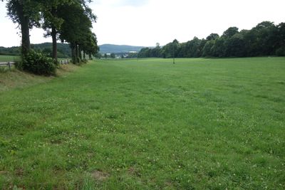
Kesselbachtal, protected landscape in Meschede, North Rhine-Westphalia, Germany
Location: Meschede
Inception: 1994
GPS coordinates: 51.35220,8.14456
Latest update: March 25, 2025 08:05
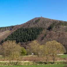
Küppel
3.9 km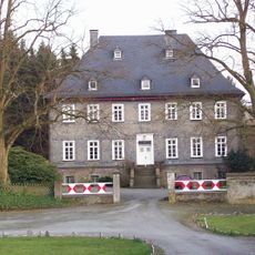
Gut Bockum
2.8 km
Schiedlike Borg
4 km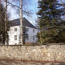
Haus Niederberge
2.1 km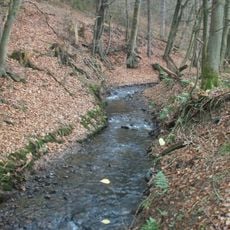
Unteres Mühlenbachtal
4 km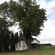
Naturdenkmal Linde an der Halloh-Kapelle Wallen
3.8 km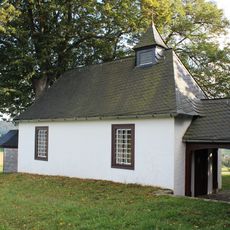
Hallohkapelle
3.8 km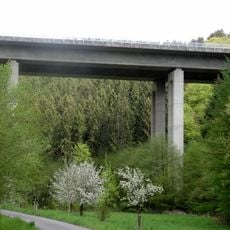
Talbrücke Rümmecke
2.4 km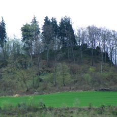
Wallenstein
3.9 km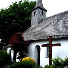
St. Vinzenz am Thy
4.2 km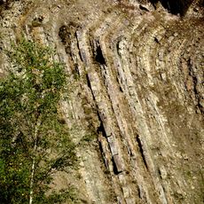
Odin / Hardt
2.8 km
Ruhrtal mit Wennemündung
2.9 km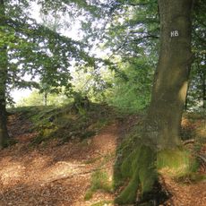
Hünenburg bei Rumbeck
4 km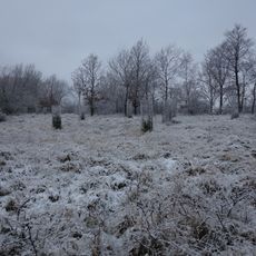
Hölzchen
3.5 km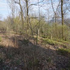
Niederwälder bei Visbeck
2.1 km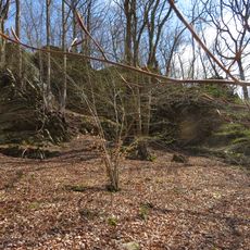
Kanzenberg
3.6 km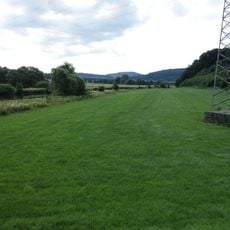
Aeppel
2.2 km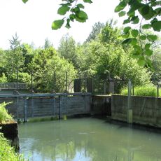
Freienohler Ruhrtal
2.8 km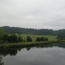
Ruhrtal westlich Freienohl
2.2 km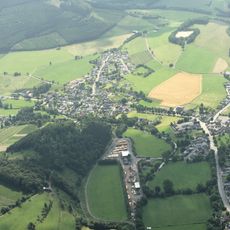
Offenland um Berge
2.8 km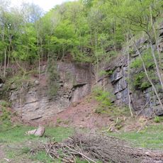
Geschützter Landschaftsbestandteil Aufschluss an der Burg
4 km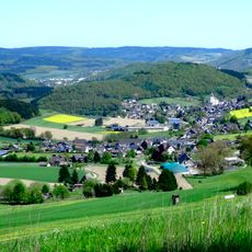
Offenland um Calle und Wallen
3.9 km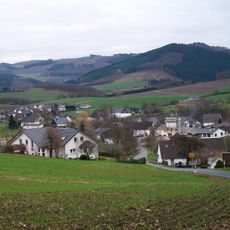
Offenland um Visbeck
2.4 km
Offenland um Bockum
3 km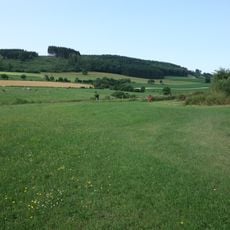
Talflanken von Wenne- und Kesselbachunterlauf
1.5 km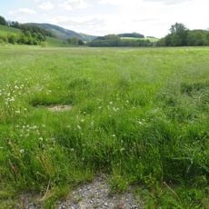
Talsystem des Arpebaches
2.7 km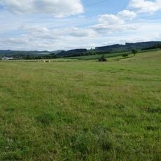
Offenland nordwestlich Olpe
1.8 km
Kehling/Stuckerlen
3 kmReviews
Visited this place? Tap the stars to rate it and share your experience / photos with the community! Try now! You can cancel it anytime.
Discover hidden gems everywhere you go!
From secret cafés to breathtaking viewpoints, skip the crowded tourist spots and find places that match your style. Our app makes it easy with voice search, smart filtering, route optimization, and insider tips from travelers worldwide. Download now for the complete mobile experience.

A unique approach to discovering new places❞
— Le Figaro
All the places worth exploring❞
— France Info
A tailor-made excursion in just a few clicks❞
— 20 Minutes