
Peiting, human settlement and eponym of the eponymous municipality in Germany
Location: Peiting
Elevation above the sea: 719 m
GPS coordinates: 47.79556,10.92944
Latest update: March 4, 2025 14:48
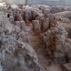
Villa rustica
2.5 km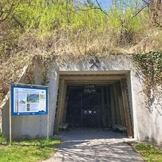
Kohleflöz am Bühlach
2.1 km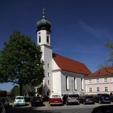
Kirche Maria Egg in Peiting
261 m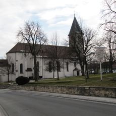
Pfarrkirche St. Michael
536 m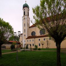
Heilig-Geist-Spitalkirche St. Anna (Schongau)
2.9 km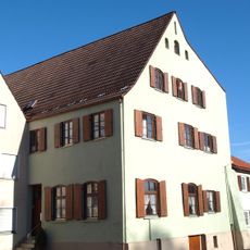
Lechtorstraße 4/6
2.8 km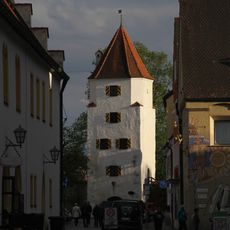
Polizeidienerturm Schongau
2.9 km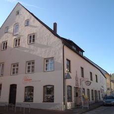
Lechtorstraße 11
2.9 km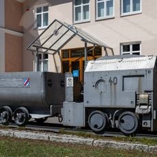
Museum im Klösterle
280 m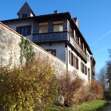
Lindenplatz 2
2.9 km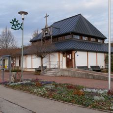
St. Martin
2.8 km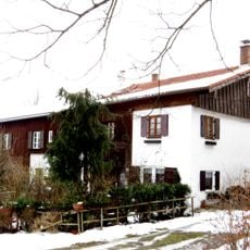
Stiegler/Sterer
562 m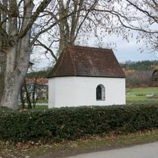
St. Antonius
2.8 km
Karmeliterstraße 4
2.9 km
Lechtorstraße 10
2.8 km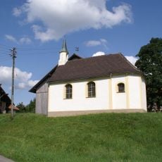
St. Leonhard
1.5 km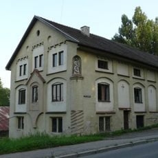
Köglmüller
816 m
Wohnhaus
2.8 km
Wohnhaus "Unterer Weinmüller"
2.5 km
Wohnhaus''Schöller''
2.6 km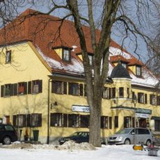
Pinzgerwirt
554 m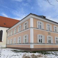
Schulhaus
276 m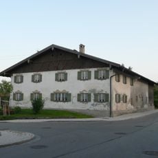
Geiger
688 m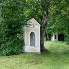
Kalvarienberg
803 m
Erbärmdekreuz
309 m
Wohnhaus''Bertl''
2.6 km
Stadtmauer
2.8 km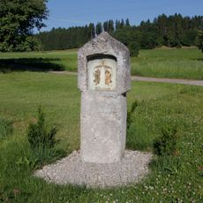
Gedenkstein
2.2 kmReviews
Visited this place? Tap the stars to rate it and share your experience / photos with the community! Try now! You can cancel it anytime.
Discover hidden gems everywhere you go!
From secret cafés to breathtaking viewpoints, skip the crowded tourist spots and find places that match your style. Our app makes it easy with voice search, smart filtering, route optimization, and insider tips from travelers worldwide. Download now for the complete mobile experience.

A unique approach to discovering new places❞
— Le Figaro
All the places worth exploring❞
— France Info
A tailor-made excursion in just a few clicks❞
— 20 Minutes