
Münster, Ortsteil of Eußenheim
Location: Eußenheim
Elevation above the sea: 195 m
Shares border with: Bonnland, Hundsbach, Bühler, Aschfeld
GPS coordinates: 50.01548,9.85555
Latest update: April 4, 2025 12:33
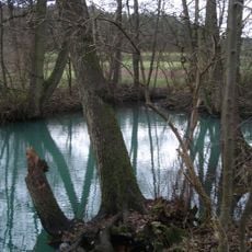
Kühles Loch
546 m
St. Andreas
1.8 km
St. Nikolaus
795 m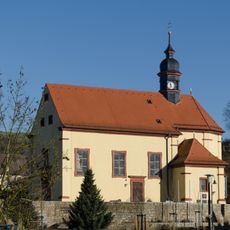
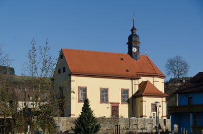
St. Martin
17 m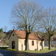
Vierzehnnothelfer
50 m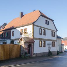
Bauernhof
1.7 km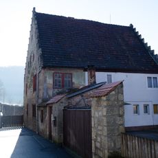
Wohnhaus
2.4 km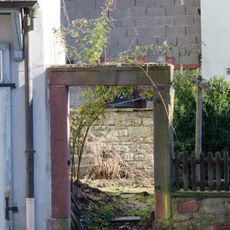
Fußgängerpforte
2 km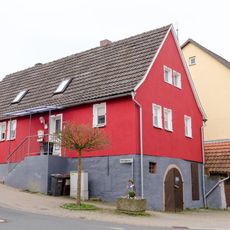
Wohnhaus
851 m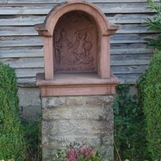
Bildstock
2.1 km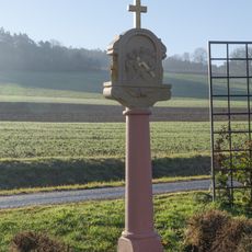
Bildstock
955 m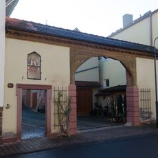
Hoftor
1.7 km
Bauernhof
2.1 km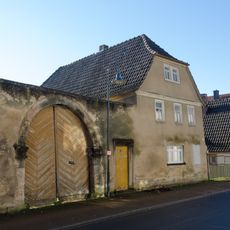
Wohnhaus
2.1 km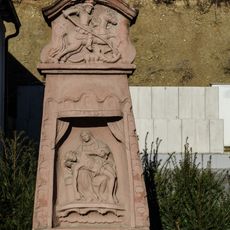
Bildstock
2.2 km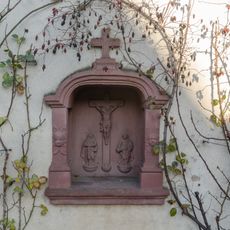
Prozessionsaltar
744 m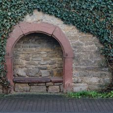
Keller
808 m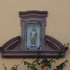
Portalsturz
2.3 km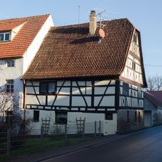
Kunstmühle
1.8 km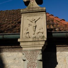
Bildstock
2.4 km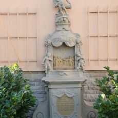
Prozessionsaltar
1.7 km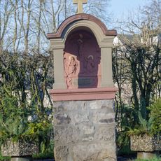
Prozessionsaltar
134 m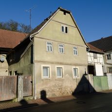
Wohnhaus
2.3 km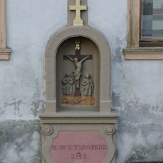
Bildstock
158 m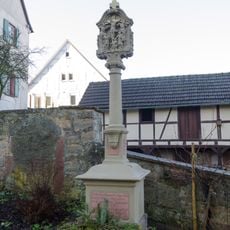
Bildstock
772 m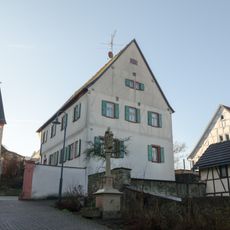
Pfarrhaus
774 m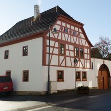
Wohnhaus
2.3 km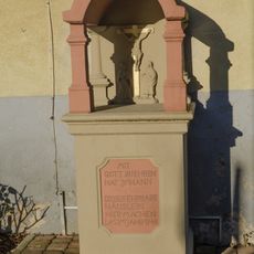
Bildstock
1.7 kmReviews
Visited this place? Tap the stars to rate it and share your experience / photos with the community! Try now! You can cancel it anytime.
Discover hidden gems everywhere you go!
From secret cafés to breathtaking viewpoints, skip the crowded tourist spots and find places that match your style. Our app makes it easy with voice search, smart filtering, route optimization, and insider tips from travelers worldwide. Download now for the complete mobile experience.

A unique approach to discovering new places❞
— Le Figaro
All the places worth exploring❞
— France Info
A tailor-made excursion in just a few clicks❞
— 20 Minutes