
Breitenbrunn, Ortsteil of Faulbach
Location: Faulbach
Elevation above the sea: 175 m
Shares border with: Altenbucher Forst, Hasselberg, Faulbach, Stadtprozelten, Hoher Berg, Unteraltenbuch
GPS coordinates: 49.80280,9.44495
Latest update: April 8, 2025 06:23
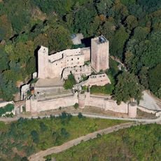
Henneburg
2.8 km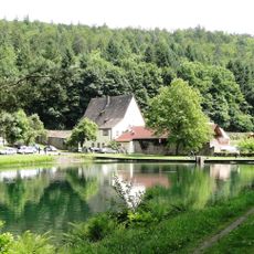
Kloster
2.7 km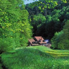
Eisenhammer Hasloch
3.7 km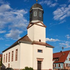
Alte Pfarrkirche
2.3 km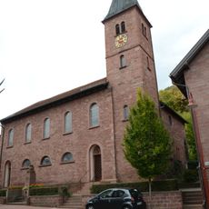
Kirche
3.5 km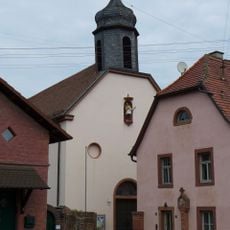
St. Martin
2.9 km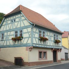
Rathaus
3.6 km
Kirche
2.3 km
Grohberg
849 m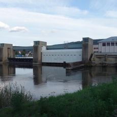
Faulbach barrage and locks
2.5 km
Wohnhaus
2.8 km
Wohnhaus
2.8 km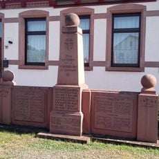
Kriegerdenkmal
2.7 km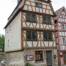
Wohnhaus
2.8 km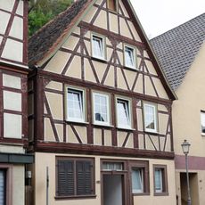
Wohnhaus
2.9 km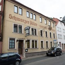
Gasthaus
2.8 km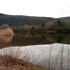
Badesee Mondfeld
2.1 km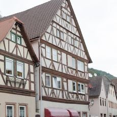
Wohnhaus
2.9 km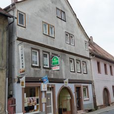
Doppelhaus
2.8 km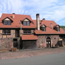
Hammerschmiede Hasloch
3.7 km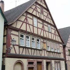
Wohnhaus
2.9 km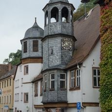
Rathaus
2.8 km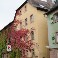
Benefiziatenhaus
2.8 km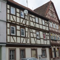
Wohnhaus
2.8 km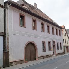
Wohnhaus
2.8 km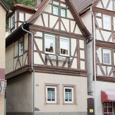
Wohnhaus
2.9 km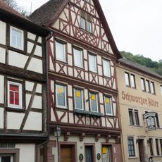
Wohnhaus
2.8 km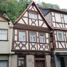
Wohnhaus
2.9 kmReviews
Visited this place? Tap the stars to rate it and share your experience / photos with the community! Try now! You can cancel it anytime.
Discover hidden gems everywhere you go!
From secret cafés to breathtaking viewpoints, skip the crowded tourist spots and find places that match your style. Our app makes it easy with voice search, smart filtering, route optimization, and insider tips from travelers worldwide. Download now for the complete mobile experience.

A unique approach to discovering new places❞
— Le Figaro
All the places worth exploring❞
— France Info
A tailor-made excursion in just a few clicks❞
— 20 Minutes