
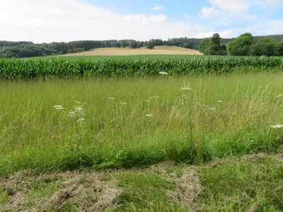
Hellefelder Senke, protected landscape in Sundern, North Rhine-Westphalia, Germany
Location: Sundern
Inception: 1993
GPS coordinates: 51.33604,8.08453
Latest update: March 3, 2025 09:00
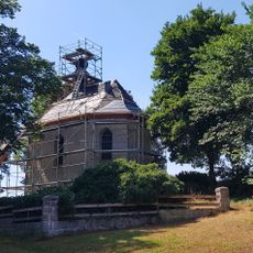
Kapelle der Heiligen Familie
1.1 km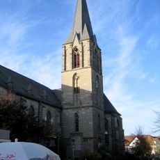
St. Johannes
5.7 km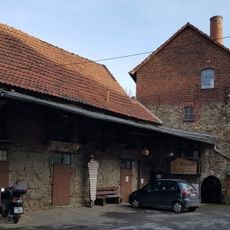
Alte Kornbrennerei
5.6 km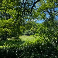
Geschützter Landschaftsbestandteil Schmidt’s Eisteiche
5.2 km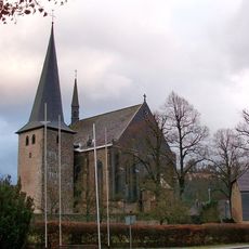
St. Martinus
600 m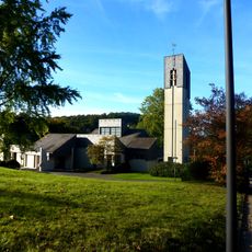
St. Norbertus, Arnsberg
5.2 km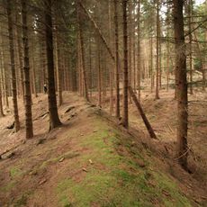
Güllener Ring
3.6 km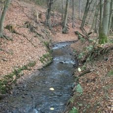
Unteres Mühlenbachtal
5.4 km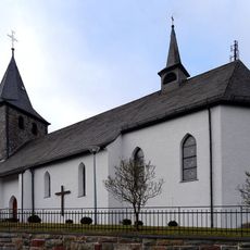
St. Antonius Einsiedler
4.8 km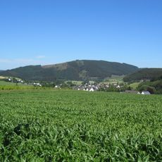
Dümberg
4.2 km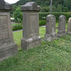
Jüdischer Friedhof
5.6 km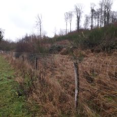
Kalkbuchenwald Selschede
4 km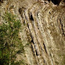
Odin / Hardt
2 km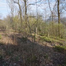
Niederwälder bei Visbeck
2.8 km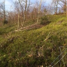
Niederwald Recklinghausen
5.1 km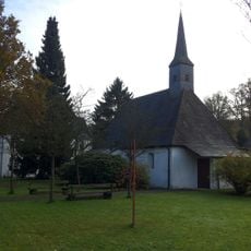
St. Jakobus (Sundern)
5.2 km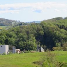
Westenfelder Kalkknäppchen
2.8 km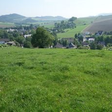
Magergrünland Alfloh
3.7 km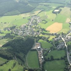
Offenland um Berge
5.1 km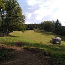
Magerweide südlich des Bärenberges
4.6 km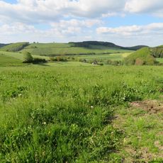
Offenland um Grevenstein
5 km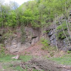
Geschützter Landschaftsbestandteil Aufschluss an der Burg
5.5 km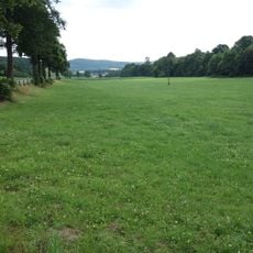
Kesselbachtal
4.5 km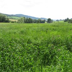
Talraum der Milmke
2.4 km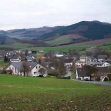
Offenland um Visbeck
3.8 km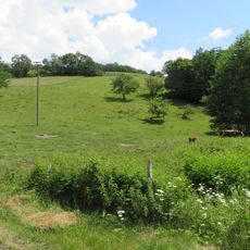
Magerweiden nordöstlich Grevenstein
5.2 km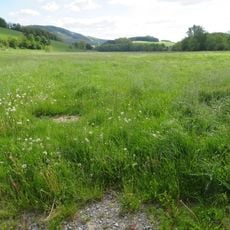
Talsystem des Arpebaches
4.3 km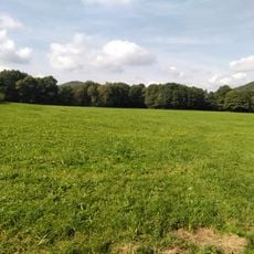
Nassweide im Linnepetal
2.3 kmVisited this place? Tap the stars to rate it and share your experience / photos with the community! Try now! You can cancel it anytime.
Discover hidden gems everywhere you go!
From secret cafés to breathtaking viewpoints, skip the crowded tourist spots and find places that match your style. Our app makes it easy with voice search, smart filtering, route optimization, and insider tips from travelers worldwide. Download now for the complete mobile experience.

A unique approach to discovering new places❞
— Le Figaro
All the places worth exploring❞
— France Info
A tailor-made excursion in just a few clicks❞
— 20 Minutes