Enable Location

We need your location to show you interesting places around you

Discover nearby places

Find interesting locations and hidden gems around you

Precise directions

Get accurate directions and distances to places

Your location is never shared with other users. It's only used when you tap the location button.

Sundern

Log in to your account

Start exploring — it's free

Trusted by 61,366 travelers worldwide

Continue with Google
Continue with Apple
or

We will send you a code to connect

By continuing, you accept our Terms and Conditions and our Privacy Policy

Check your inbox

We've sent a pincode in your inbox. Please enter the code below.

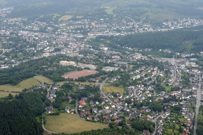
Sundern, Medium-sized district town in Hochsauerlandkreis, North Rhine-Westphalia, Germany.

Description

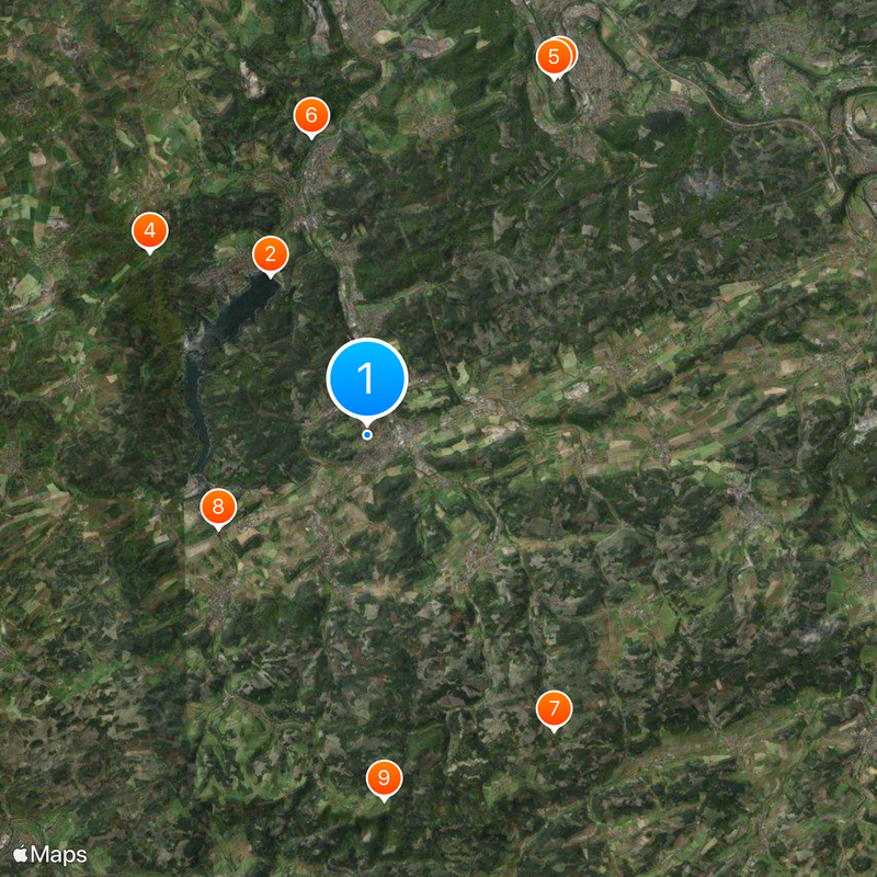
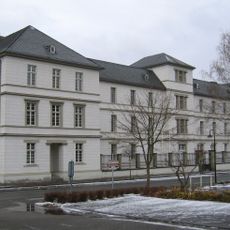
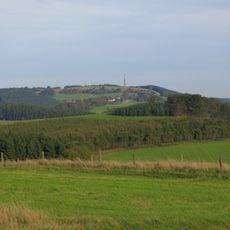
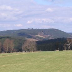
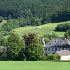
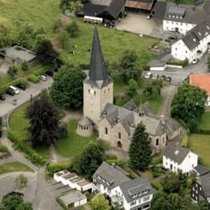
Sundern is a medium-sized district town in Hochsauerlandkreis, North Rhine-Westphalia, spread across rolling terrain in the Sauerland region. The municipality comprises sixteen subdivisions, including Allendorf, Amecke, and Langscheid, which together form the community structure.

History

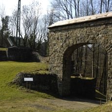
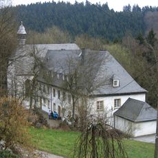
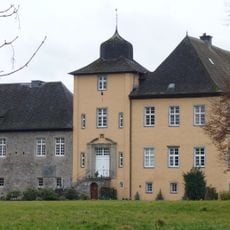
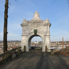
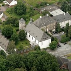
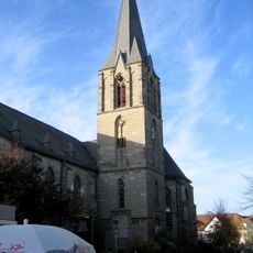
Sundern developed as a settlement in a region with deep roots of habitation and grew over centuries into a local community of significance. The area later became formally established as an administrative unit and maintained its role as a center within the Sauerland region.

Culture

The town's name comes from Westphalian dialect and means privately owned land, a naming tradition found across the wider region. This linguistic heritage remains part of how locals understand and identify their community.

Practical

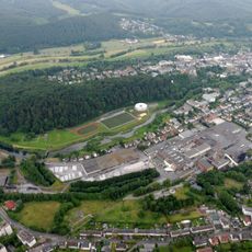
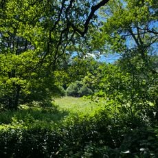
The artificial lake Sorpesee offers year-round opportunities for water sports, fishing, and camping in a natural setting. The various subdivisions are well connected by local roads, making it easy to explore different parts of the area.

Did you know?

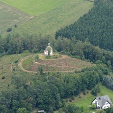
Wildewiese functions as a winter tourism center with skiing facilities, revealing that the area actively caters to winter sports enthusiasts despite its moderate elevation. Homert nature park attracts many visitors from across the Dutch border, showing the region's cross-border appeal.

Elevation above the sea
252 m
Shares border with
Plettenberg, Neuenrade, Balve, Arnsberg, Meschede, Eslohe (Sauerland), Finnentrop
GPS coordinates
51.31667,8.00000
Latest update
December 17, 2025 10:57

AroundUs brings together thousands of curated places, local tips, and hidden gems, enriched daily by 60,000 contributors worldwide. Discover all places nearby (Hochsauerlandkreis).

« Sundern - Medium-sized district town in Hochsauerlandkreis, North Rhine-Westphalia, Germany » is provided by Around Us (aroundus.com). Images and texts are derived from Wikimedia project under a Creative Commons license. You are allowed to copy, distribute, and modify copies of this page, under the conditions set by the license, as long as this note is clearly visible.

Discover hidden gems everywhere you go!

From secret cafés to breathtaking viewpoints, skip the crowded tourist spots and find places that match your style. Our app makes it easy with voice search, smart filtering, route optimization, and insider tips from travelers worldwide. Download now for the complete mobile experience.

Around Us App Screenshot

A unique approach to discovering new places

Le Figaro

All the places worth exploring

France Info

A tailor-made excursion in just a few clicks

20 Minutes

Around Us
Travel Guide & Maps
Download

Send to your phone

QR Code
1

Open the camera app on your mobile.

2

Point at the QR code with your camera. A notification will appear.

3

Tap the notification to open the link.