
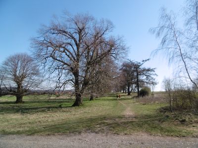
Freiflächen bei Oesdorf / Westheim und Krähengrund, protected landscape in Marsberg, North Rhine-Westphalia, Germany
Location: Marsberg
Inception: 2004
GPS coordinates: 51.50211,8.88972
Latest update: March 4, 2025 14:58
Stadtwüstung Blankenrode
5.1 km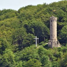
Bilsteinturm
5 km
Klingelbachtal
4.3 km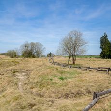
Bleikuhlen und Wäschebachtal
2.8 km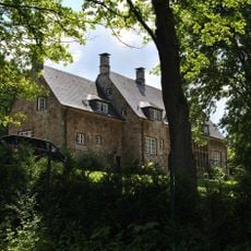
Landhaus Grüner Weg 17
4.8 km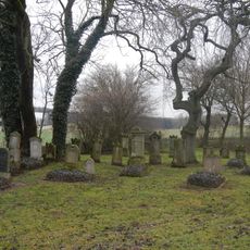
Jüdischer Friedhof Essentho
5.1 km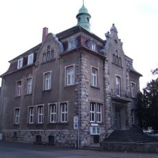
Heimatmuseum der Stadt Marsberg
5.1 km
St. Johannes Baptist
1.1 km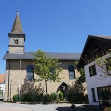
St. Antonius von Padua
4.6 km
Bleikuhlen
3.3 km
Wäschebach/Tieberg
2.7 km
Kiesgruben Dörpeder Mark
3.3 km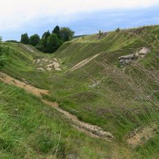
Bleikuhlen
3.5 km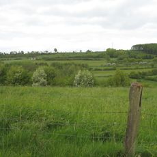
Niedernfeld
3.7 km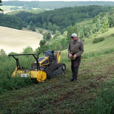
Halbtrockenrasen am Dahlberg
1.1 km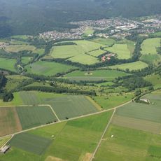
Diemeltalflanken um Niedermarsberg
3.5 km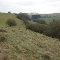
Dahlsberg
676 m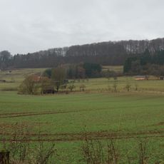
Vor der Egge
1.2 km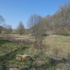
Apfelbaumgrund
5 km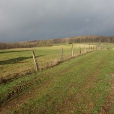
Randhöhen zwischen Sintfeld und Diemeltal
2.5 km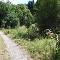
Staupketal
4.2 km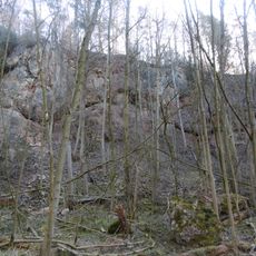
Steinbruch Rosenberg
835 m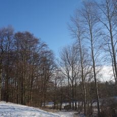
Feldgehölz nördlich des Mühlenberges
2.7 km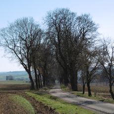
Allee nördlich des Rosenberges
1.4 km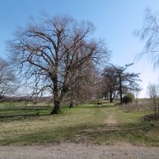
Doppelallee Westheim
744 m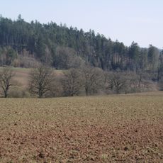
Krähengrund
1.7 km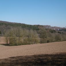
Henzengraben
2.2 km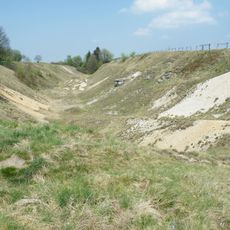
Bleikuhlen und Wäschebachtal
3 kmVisited this place? Tap the stars to rate it and share your experience / photos with the community! Try now! You can cancel it anytime.
Discover hidden gems everywhere you go!
From secret cafés to breathtaking viewpoints, skip the crowded tourist spots and find places that match your style. Our app makes it easy with voice search, smart filtering, route optimization, and insider tips from travelers worldwide. Download now for the complete mobile experience.

A unique approach to discovering new places❞
— Le Figaro
All the places worth exploring❞
— France Info
A tailor-made excursion in just a few clicks❞
— 20 Minutes