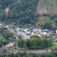
Unteres Wannetal, protected landscape in Arnsberg, North Rhine-Westphalia, Germany
Location: Arnsberg
Inception: 1998
GPS coordinates: 51.42007,8.04917
Latest update: October 26, 2025 07:32
Schloss Arnsberg
2.3 km
Viadukt Arnsberg
1.9 km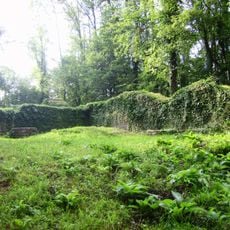
Rüdenburg Arnsberg
2.3 km
Marienhospital Arnsberg
2.6 km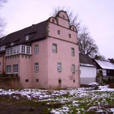
Haus Obereimer
1.5 km
St. Maria Magdalena
1.8 km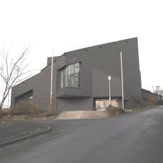
Holy Cross
1.4 km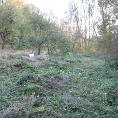
Geschützter Landschaftsbestandteil Streuobstwiesen Schmiestal
1.6 km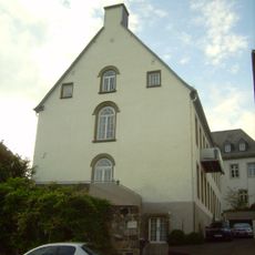
Dückerscher Hof
2.6 km
Synagoge Arnsberg
2.6 km
Kapelle Rodentelgen
1.9 km
Feuerwehrmuseum der Stadt Arnsberg
2.1 km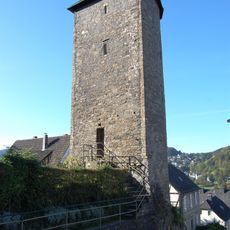
Limps Turm
2.5 km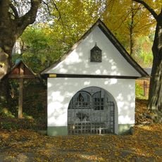
Tollpöstchen
2.1 km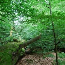
Waldreservat Obereimer
2.1 km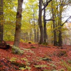
Arnsberger Wald
1.9 km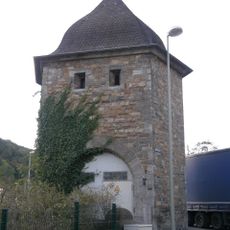
Trafohaus Jägerbrücke
2.4 km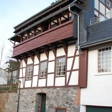
Haus Schennen
2.6 km
Ruhraue
1.8 km
Schiller-Buche
2.5 km
Die Nixe
2.4 km
Ondorado-Ruhr-Rad-Bank
2.6 km
Wolf
1.9 km
Modell des ehe. Schlosses
2.4 km
Scenic viewpoint
2.3 km
Scenic viewpoint
2.6 km
Scenic viewpoint
2.2 km
Scenic viewpoint
2.3 kmReviews
Visited this place? Tap the stars to rate it and share your experience / photos with the community! Try now! You can cancel it anytime.
Discover hidden gems everywhere you go!
From secret cafés to breathtaking viewpoints, skip the crowded tourist spots and find places that match your style. Our app makes it easy with voice search, smart filtering, route optimization, and insider tips from travelers worldwide. Download now for the complete mobile experience.

A unique approach to discovering new places❞
— Le Figaro
All the places worth exploring❞
— France Info
A tailor-made excursion in just a few clicks❞
— 20 Minutes