
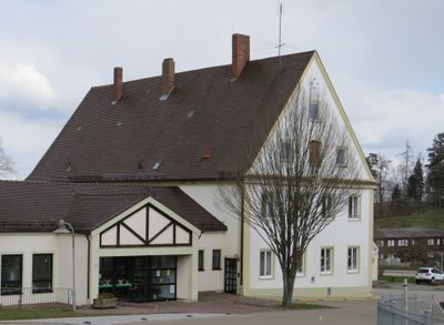
Schule, satteldachbau mit profiliertem Trauf- und Giebelgesims, 1732 errichtet, Ausbau im 19. Jahrhundert
Location: Ursberg
Address: Rudolf-Lang-Straße 1
GPS coordinates: 48.26613,10.44268
Latest update: March 9, 2025 06:13
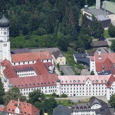
Ursberg Abbey
134 m
Krumbad
4.5 km
St. Johannes Evangelist und Petrus
210 m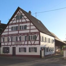
Heimatmuseum
2.6 km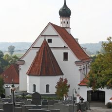
Unsere Liebe Frau
4.8 km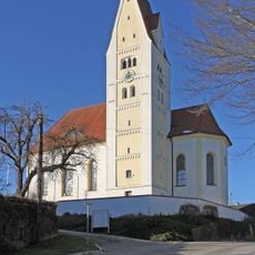
Pfarrkirche
3.6 km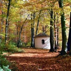
Lexenrieder Kapelle
4.6 km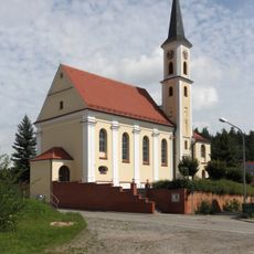
St. Thomas von Canterbury
2.7 km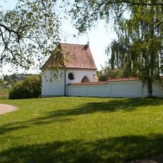
Ölbergkapelle
350 m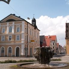
Rathaus
2.7 km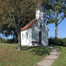
Kapelle Zu den Vierzehn Nothelfern (Oberrohr)
1.8 km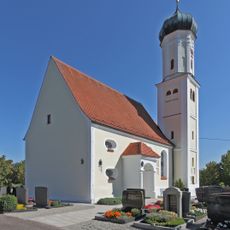
St. Pankratius
1.6 km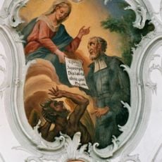
St. Vitus
4.6 km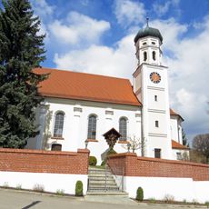
St. Georg
864 m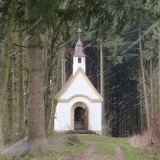
Herrgottsruhkapelle
579 m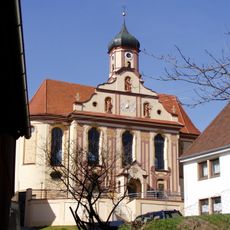
Heilig Kreuz
3.9 km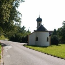
Katholische Kapelle Mariä Heimsuchung
2.2 km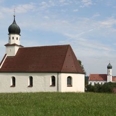
Kapelle Sankt Michael
4.8 km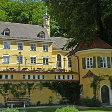
Kapelle St. Felicitas
4.5 km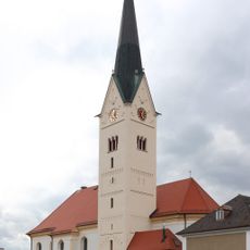
Pfarrkirche
2.6 km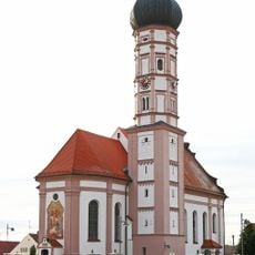
Cultural heritage D-7-7728-0051 in Balzhausen
4.6 km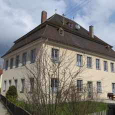
Ehemaliges Amtshaus des Klosters Ursberg
698 m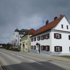
Bauernhaus
104 m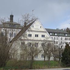
Ehemaliges Hospitium des Klosters, jetzt Wohn- und Geschäftshaus
138 m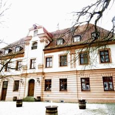
Bräuhaus
214 m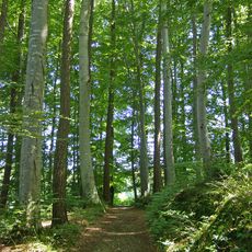
Buchenwald östlich Krumbach
3.7 km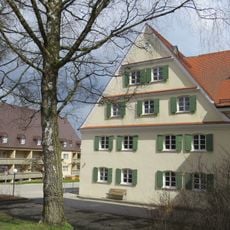
Wiesmühle
400 m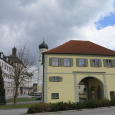
Torhaus des ehemaligen Klosters
91 mReviews
Visited this place? Tap the stars to rate it and share your experience / photos with the community! Try now! You can cancel it anytime.
Discover hidden gems everywhere you go!
From secret cafés to breathtaking viewpoints, skip the crowded tourist spots and find places that match your style. Our app makes it easy with voice search, smart filtering, route optimization, and insider tips from travelers worldwide. Download now for the complete mobile experience.

A unique approach to discovering new places❞
— Le Figaro
All the places worth exploring❞
— France Info
A tailor-made excursion in just a few clicks❞
— 20 Minutes