
Grenzstein Nr. 19, des ehemaligen Burgfriedens der Stadt Mühldorf a.Inn, gesetzt 1664/65
Location: Mühldorf am Inn
Address: Hartfeld
GPS coordinates: 48.25202,12.54025
Latest update: October 26, 2025 15:16
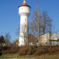
Wasserturm Mühldorf am Inn
1.5 km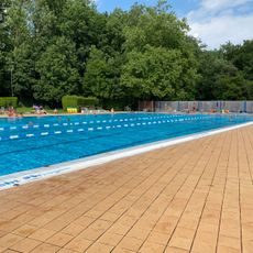
Freibad
1.1 km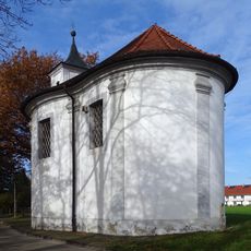
Maria-Eich-Kapelle
987 m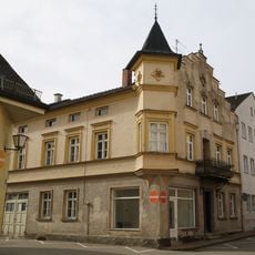
Bräugasse 20
1.5 km
St. Johann Baptist
1.6 km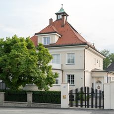
Sogenannte „Strauch-Villa“
1.5 km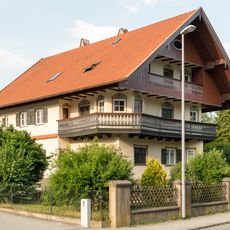
Villa
1.4 km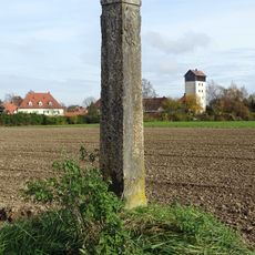
Grenzstein 20C
749 m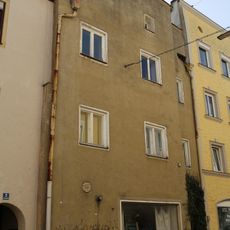
Wohnhaus
1.6 km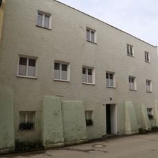
Wohnhaus
1.5 km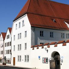
Haberkasten in Mühldorf am Inn
1.5 km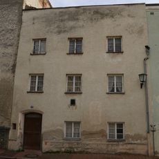
Wohnhaus
1.5 km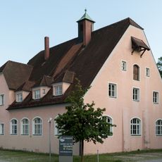
Ehemals Kreiswinterschule
1.3 km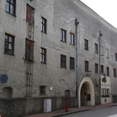
Turmbrauerei Mühldorf am Inn
1.5 km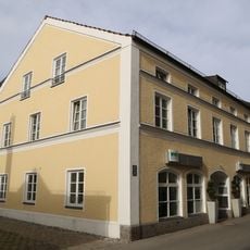
Wohnhaus
1.5 km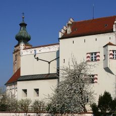
Pfarrhof
1.5 km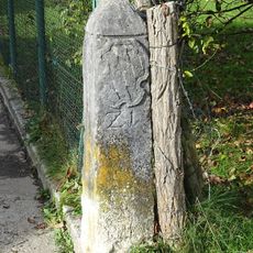
Grenzstein 21
1 km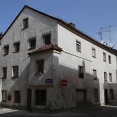
Wohnhaus
1.5 km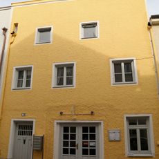
Wohnhaus
1.6 km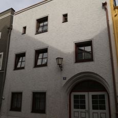
Wohnhaus
1.6 km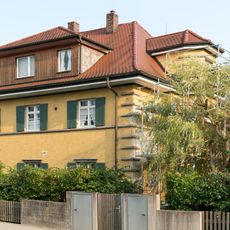
Wohnhaus
1.3 km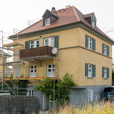
Wohnhaus
1.3 km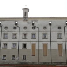
Heilig-Geist-Spital
1.6 km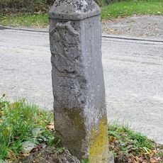
Grenzstein 22
1 km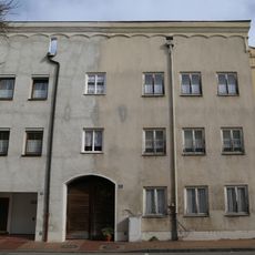
Wohnhaus
1.6 km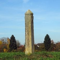
Grenzstein 20B (Mühldorf am Inn; Nord)
743 m
Wohnhaus
1.5 km
Wasserpumpwerk
1.4 kmReviews
Visited this place? Tap the stars to rate it and share your experience / photos with the community! Try now! You can cancel it anytime.
Discover hidden gems everywhere you go!
From secret cafés to breathtaking viewpoints, skip the crowded tourist spots and find places that match your style. Our app makes it easy with voice search, smart filtering, route optimization, and insider tips from travelers worldwide. Download now for the complete mobile experience.

A unique approach to discovering new places❞
— Le Figaro
All the places worth exploring❞
— France Info
A tailor-made excursion in just a few clicks❞
— 20 Minutes