
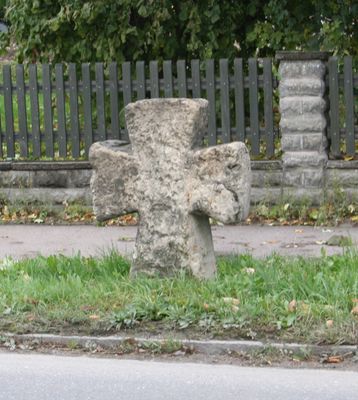
Steinkreuz, niederraunau; spätmittelalterlich
Location: Krumbach
Address: an der Hürber Straße
GPS coordinates: 48.22544,10.37917
Latest update: March 7, 2025 02:04
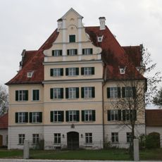
Schloss Niederraunau
291 m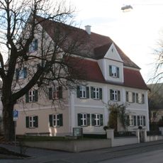
Mittelschwäbisches Heimatmuseum
2.3 km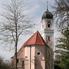
St. Ulrich
1.9 km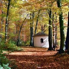
Lexenrieder Kapelle
2.1 km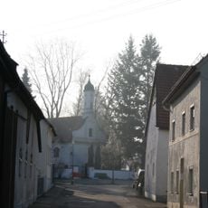
Friedhofskapelle
2.1 km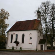
Ecce-Homo-Kapelle
638 m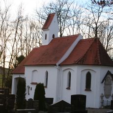
Friedhofskapelle St. Georg
1.3 km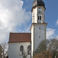
Kapelle Herz Jesu
1.5 km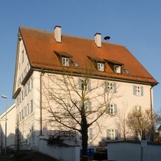
Wohnhaus, sogenanntes Rixner-Haus
2.1 km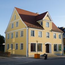
Karl-Mantel-Straße 52
2.3 km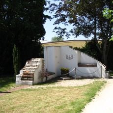
Synagoge (Hürben)
2.3 km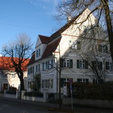
Heinrich-Sinz-Straße 5
2.3 km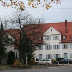
Doppelhaus
2.2 km
Rathaus
170 m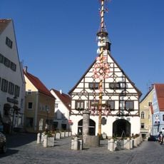
Ensemble Marktplatz
2.3 km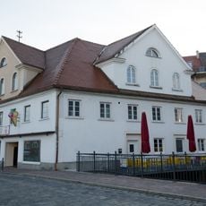
Wohnhaus
2.3 km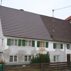
Doppelwohnhaus, ehemaliges Bauernhaus
2.2 km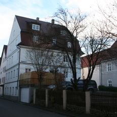
Wohnhaus
2.4 km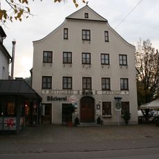
Gasthof
2.3 km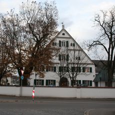
Gasthof Adlerbrauerei
2.1 km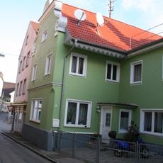
Wohnhaus
2.3 km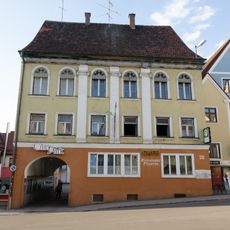
Ehemals Gasthof Kreuz
2.3 km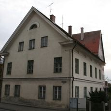
Ehemals Forsthaus
2.1 km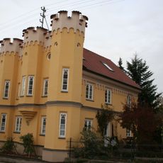
Sogenanntes Altertum-Haus
364 m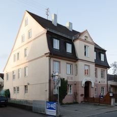
Wohnhaus
2.3 km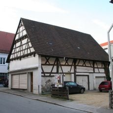
Ehemaliger Stadel
2.3 km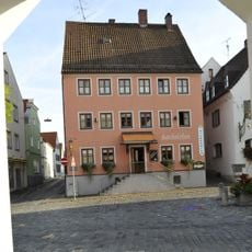
Gasthaus Kachelofen
2.3 km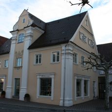
Ehemals herrschaftliches Freihaus, jetzt Wohnhaus
2.4 kmVisited this place? Tap the stars to rate it and share your experience / photos with the community! Try now! You can cancel it anytime.
Discover hidden gems everywhere you go!
From secret cafés to breathtaking viewpoints, skip the crowded tourist spots and find places that match your style. Our app makes it easy with voice search, smart filtering, route optimization, and insider tips from travelers worldwide. Download now for the complete mobile experience.

A unique approach to discovering new places❞
— Le Figaro
All the places worth exploring❞
— France Info
A tailor-made excursion in just a few clicks❞
— 20 Minutes