
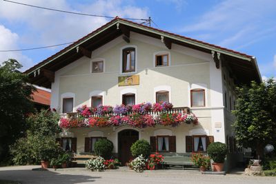
Einfirsthof, zweieinhalbgeschossiger Wohnteil mit Flachsatteldach und Putzgliederungen, Wirtschaftsteil mit Bundwerk, Mitte 19. Jh
Location: Tuntenhausen
Address: Lindenstraße 3
GPS coordinates: 47.94988,11.96699
Latest update: April 6, 2025 13:27
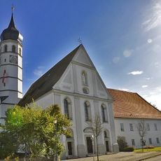
Augustinerchorherrenstift Beyharting
3.4 km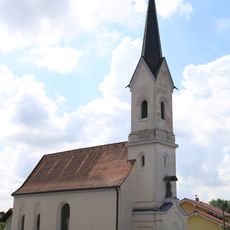
Sankt Ulrich und Leonhard
1.4 km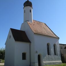
St. Dionysius
2.6 km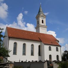
Mariä Himmelfahrt
110 m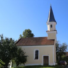
St. Margaretha
2 km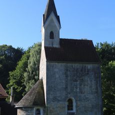
St. Georg (Thal, Tuntenhausen)
2.4 km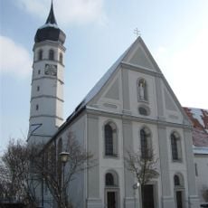
Sankt Johann Baptist
3.4 km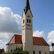
Sankt Johannes Ev.
3.2 km
St. Georg
3.6 km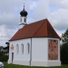
Sankt Calixtus
1.6 km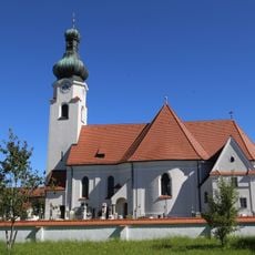
St. Jakobus
3.9 km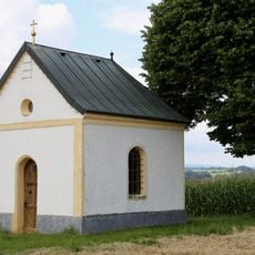
Klausenkapelle
3.2 km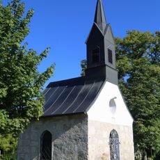
Kapelle
1.7 km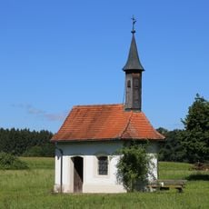
St. Vigilius
2.5 km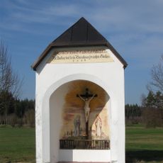
Kapelle
3.4 km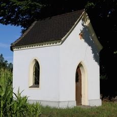
Kapelle
1.1 km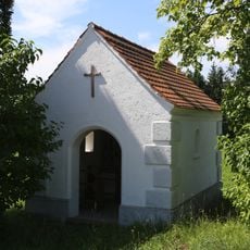
Kapelle
1.3 km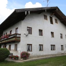
Kirchenweg 1
72 m
Einhaus
3.8 km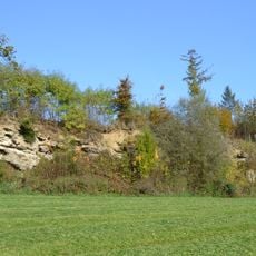
Nagelfluhwand bei Weng
3.2 km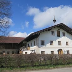
Sonnenfeldstraße 6
3.8 km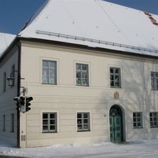
Prälatenstock
3.4 km
Weiher 2
3.2 km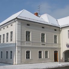
Ehemalige Schule
3.3 km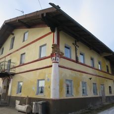
Osterwalder Weg 6
3.6 km
Schloßstraße 4
3.1 km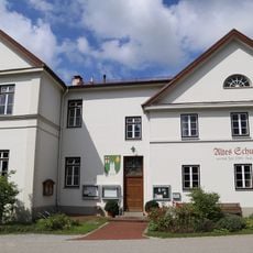
Altes Schulhaus
36 m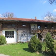
Weiher 3
3.2 kmReviews
Visited this place? Tap the stars to rate it and share your experience / photos with the community! Try now! You can cancel it anytime.
Discover hidden gems everywhere you go!
From secret cafés to breathtaking viewpoints, skip the crowded tourist spots and find places that match your style. Our app makes it easy with voice search, smart filtering, route optimization, and insider tips from travelers worldwide. Download now for the complete mobile experience.

A unique approach to discovering new places❞
— Le Figaro
All the places worth exploring❞
— France Info
A tailor-made excursion in just a few clicks❞
— 20 Minutes