
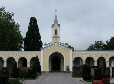
Friedhof, teilummauerte Anlage, 1866/67, erweitert Ende 19. Jahrhundert und in den 1920er Jahren
Location: Bad Aibling
Address: Ellmosener Straße 26; Nähe Ellmosener Straße
GPS coordinates: 47.86985,12.01656
Latest update: March 14, 2025 07:42
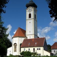
Stadtpfarrkirche Mariä Himmelfahrt
550 m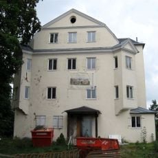
Schloss Prantseck
505 m
Hofberg
555 m
Amtsgericht Bad Aibling
568 m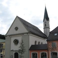
Sankt Sebastian
814 m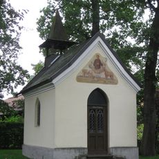
Eichenkapelle (Bad Aibling)
396 m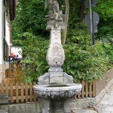
St.-Michael-Brunnen
641 m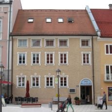
Ehemaliges Grafenbräu, jetzt Wohn- und Geschäftshaus
866 m
Kirchzeile 11
684 m
Harthauser Straße 2
523 m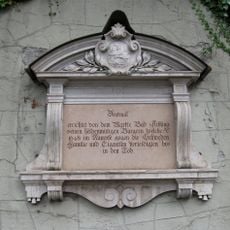
Gedenktafel zur Erinnerung an die Verteidiger Aiblings von 1648
590 m
Hofberg 3
536 m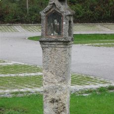
Martersäule Harthauser Straße 11
399 m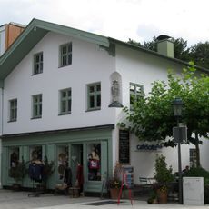
Wohn- und Geschäftshaus
768 m
Wohnhaus
507 m
Kirchzeile 13
662 m
Gebäude des ehemaligen Gendarmeriekommandos
503 m
Marienplatz 7
828 m
Hofberg 5, 6
608 m
Wohnhaus
833 m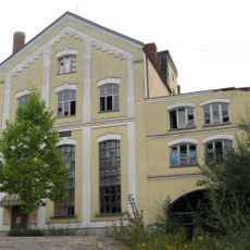
Schuhbräukeller
799 m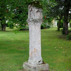
Martersäule Ellmosener Straße
161 m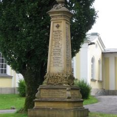
Kriegerdenkmal
143 m
Harthauser Straße 3
461 m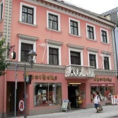
Wohn- und Geschäftshaus
864 m
Wohnhaus
824 m
Ehemaliges Bauernhaus
812 m
Am Klafferer 4
613 mReviews
Visited this place? Tap the stars to rate it and share your experience / photos with the community! Try now! You can cancel it anytime.
Discover hidden gems everywhere you go!
From secret cafés to breathtaking viewpoints, skip the crowded tourist spots and find places that match your style. Our app makes it easy with voice search, smart filtering, route optimization, and insider tips from travelers worldwide. Download now for the complete mobile experience.

A unique approach to discovering new places❞
— Le Figaro
All the places worth exploring❞
— France Info
A tailor-made excursion in just a few clicks❞
— 20 Minutes