
Ehem. Stadel, zugehöriger, integrierter, ehem. Stadel in Blockbauweise, 17. Jh., mit Kroatenkreuz und Bemalung, bez. 1743
Location: Nußdorf am Inn
Address: Bergen 72
GPS coordinates: 47.72137,12.16392
Latest update: May 19, 2025 17:24
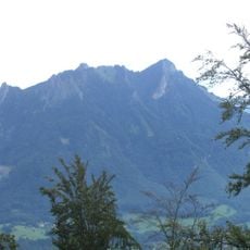
Heuberg
1.6 km
Inn Glacier
1.6 km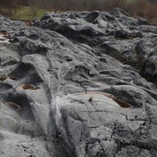
Gletscherschliff bei Fischbach am Inn
1.6 km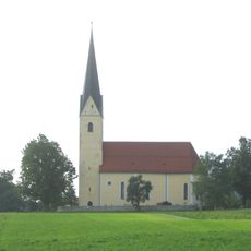
St. Leonhard (Nußdorf am Inn)
2.2 km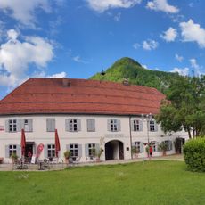
Alte Post
1.9 km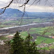
Pisee
1.1 km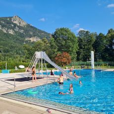
Freibad Nußdorf
1.5 km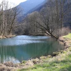
Inntal Süd
2 km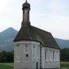
Filialkirche Heilig Kreuz (Windshausen, Nußdorf am Inn)
2.2 km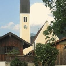
Sankt Vitus (Nußdorf am Inn)
2.2 km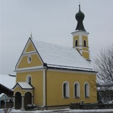
St. Johann Evangelist
1.9 km
Zollhaus Windshausen
1.9 km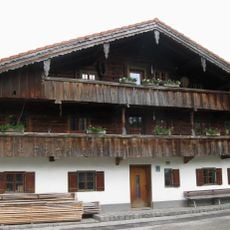
Moargasse 3
2.3 km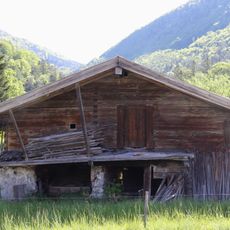
Backhaus
1.8 km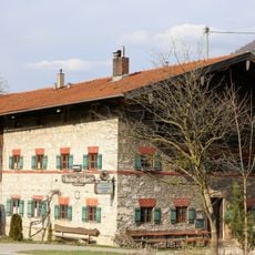
Heubergstüberl
2.2 km
Am Ring 8
2.2 km
Bauernhaus
2.3 km
Windshausen 84
1.8 km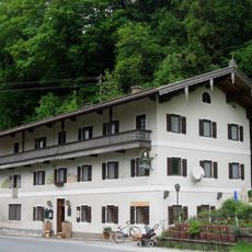
Sonnhart 82 1/2
1.2 km
Lindenweg 1
2.2 km
Ehem. Schmiede
2.3 km
Falkenbergstraße 2
2 km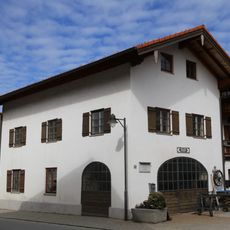
Kufsteiner Straße 85
1.9 km
Ehem. Bauernhaus
2.2 km
Sägewerk Dorfstraße 16
2.2 km
Dorfstraße 6, 9
2.2 km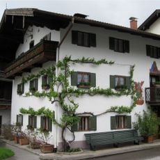
Dorfstraße 3
2.3 km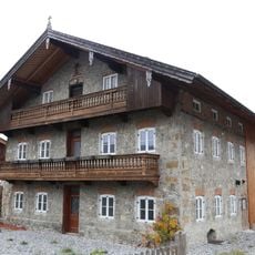
Wohnteil eines Bauernhauses
2.3 kmReviews
Visited this place? Tap the stars to rate it and share your experience / photos with the community! Try now! You can cancel it anytime.
Discover hidden gems everywhere you go!
From secret cafés to breathtaking viewpoints, skip the crowded tourist spots and find places that match your style. Our app makes it easy with voice search, smart filtering, route optimization, and insider tips from travelers worldwide. Download now for the complete mobile experience.

A unique approach to discovering new places❞
— Le Figaro
All the places worth exploring❞
— France Info
A tailor-made excursion in just a few clicks❞
— 20 Minutes